Krasnosel’skiy night lights from space
Night Light of Krasnosel’skiy (Grodnenskaya) from space (Belarus) Src. Average luminocity for 10x10km area is 1.9508% and for 50x50km: 0.2915%.
Analysis of Krasnosel’skiy night lights 2016
Square area 10x10 km:
 0%
0%90-99
0%80-89
0%70-79
0%60-69
0%50-59
0%40-49
0.88%30-39
2.15%20-29
2.53%10-19
0%0-9
94.44%Square area 50x50 km:
0%90-99
0.02%80-89
0.06%70-79
0%60-69
0.04%50-59
0.05%40-49
0.07%30-39
0.1%20-29
0.21%10-19
0.09%0-9
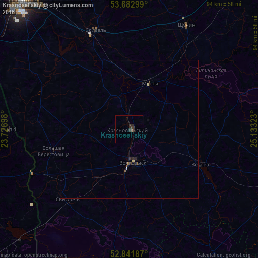
99.36%Clear (daylight) street map image can be seen on geolist.org.
Map coordinates:
53° 40' 58.8" North, 23° 43' 37.1" East
53° 15' 52.2" North, 24° 25' 48.4" East
52° 50' 30.7" North, 25° 7' 59.6" East
Some cities around Krasnosel’skiy sort by population:
• Volkovysk
12.1 km =7.5 mi,  173°
173°
• Mosty
17.9 km =11.1 mi,  23°
23°
• Shchuchyn
42.9 km =26.7 mi,  29°
29°
• Skidel’
38.2 km =23.7 mi,  341°
341°
• Zel’va
28.6 km =17.8 mi,  116°
116°
• Svislach
33.8 km =21 mi,  220°
220°
• Ross’
2.8 km =1.7 mi,  321°
321°
• Vyalikaya Byerastavitsa
28.6 km =17.8 mi,  254°
254°
626621 (p: 7,300)
Sources (retrieved 2019-11-25):
» Earth at Night: Flat Maps 2012, 2016