Uzda night lights from space
Night Light of Uzda (Minsk) from space (Belarus) Src. Average luminocity for 10x10km area is 2.836% and for 50x50km: 0.287%.
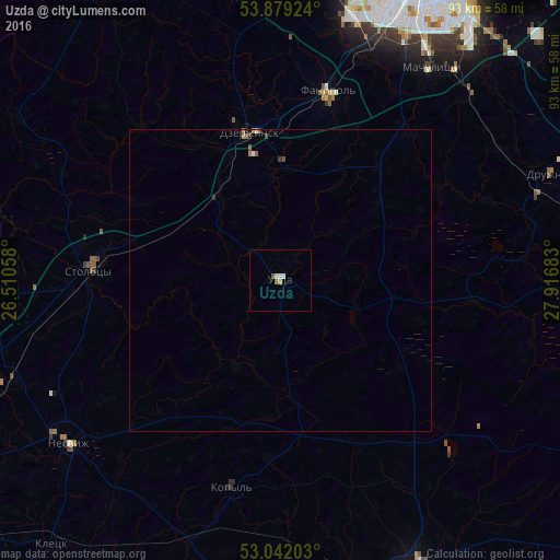
Analysis of Uzda night lights 2016
Square area 10x10 km:
 0.4%
0.4%90-99
0.66%80-89
0.53%70-79
0.4%60-69
0.13%50-59
0.53%40-49
0.53%30-39
0%20-29
0%10-19
0%0-9
96.83%Square area 50x50 km:
0.03%90-99
0.05%80-89
0.02%70-79
0.03%60-69
0.07%50-59
0.07%40-49
0.05%30-39
0.05%20-29
0.03%10-19
0%0-9
99.6%Clear (daylight) street map image can be seen on geolist.org.
Map coordinates:
53° 52' 45.3" North, 26° 30' 38.1" East
53° 27' 45.7" North, 27° 12' 49.3" East
53° 2' 31.3" North, 27° 55' 0.6" East
Some cities around Uzda sort by population:
• Dzyarzhynsk
25 km =15.5 mi,  348°
348°
• Stowbtsy
31.2 km =19.4 mi,  273°
273°
• Fanipol
32.9 km =20.4 mi,  13°
13°
• Nyasvizh
44.7 km =27.8 mi,  232°
232°
• Kapyl’
35.5 km =22.1 mi,  193°
193°
• Druzhny
48.6 km =30.2 mi,  68°
68°
• Hatava
45.4 km =28.2 mi,  38°
38°
• Machulishchy
43.2 km =26.8 mi, 35°
620483 (p: 10,000)
Sources (retrieved 2019-11-25):
» Earth at Night: Flat Maps 2012, 2016