Jwaneng night lights from space
Night Light of Jwaneng from space (Botswana) Src. Average luminocity for 10x10km area is 12.5159% and for 50x50km: 1.1532%.
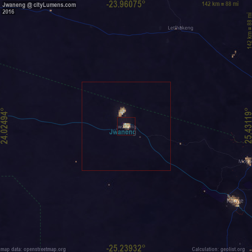
Analysis of Jwaneng night lights 2016
Square area 10x10 km:
 0.6%
0.6%90-99
0.4%80-89
0.6%70-79
4.17%60-69
3.17%50-59
1.39%40-49
2.38%30-39
0%20-29
1.59%10-19
3.97%0-9
81.75%Square area 50x50 km:
0.06%90-99
0.11%80-89
0.13%70-79
0.32%60-69
0.21%50-59
0.09%40-49
0.16%30-39
0.03%20-29
0.22%10-19
0.36%0-9
98.31%Clear (daylight) street map image can be seen on geolist.org.
Map coordinates:
23° 57' 38.7" South, 24° 1' 29.8" East
24° 36' 6" South, 24° 43' 41" East
25° 14' 21.6" South, 25° 25' 52.3" East
Some cities around Jwaneng sort by population:
• Molepolole
80.6 km =50.1 mi,  74°
74°
• Kanye
73.3 km =45.5 mi,  123°
123°
• Thamaga
82.4 km =51.2 mi,  95°
95°
• Mosopa
72.6 km =45.1 mi,  105°
105°
• Gabane
106.8 km =66.4 mi,  93°
93°
• Letlhakeng
64.1 km =39.8 mi,  28°
28°
• Otse
111.5 km =69.3 mi, 114°
• Metsemotlhaba
108.8 km =67.6 mi, 87°
8308627 (p: 0)
Sources (retrieved 2019-11-25):
» Earth at Night: Flat Maps 2012, 2016