Molepolole night lights from space
Night Light of Molepolole (Kweneng) from space (Botswana) Src. Average luminocity for 10x10km area is 21.9702% and for 50x50km: 1.3528%.
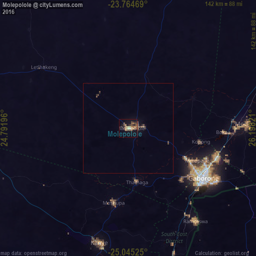
Analysis of Molepolole night lights 2016
Square area 10x10 km:
 0.4%
0.4%90-99
0.6%80-89
2.78%70-79
4.96%60-69
3.97%50-59
5.16%40-49
6.35%30-39
3.97%20-29
3.77%10-19
14.68%0-9
53.37%Square area 50x50 km:
0.02%90-99
0.02%80-89
0.14%70-79
0.26%60-69
0.22%50-59
0.33%40-49
0.48%30-39
0.21%20-29
0.23%10-19
0.7%0-9
97.39%Clear (daylight) street map image can be seen on geolist.org.
Map coordinates:
23° 45' 52.9" South, 24° 47' 31.1" East
24° 24' 23.7" South, 25° 29' 42.3" East
25° 2' 42.9" South, 26° 11' 53.6" East
Some cities around Molepolole sort by population:
• Gaborone
50.1 km =31.1 mi,  123°
123°
• Mogoditshane
44.8 km =27.8 mi, 123°
• Thamaga
29.7 km =18.5 mi,  171°
171°
• Mosopa
41.3 km =25.7 mi,  190°
190°
• Gabane
41 km =25.5 mi,  134°
134°
• Kopong
40.2 km =25 mi,  102°
102°
• Letlhakeng
58.6 km =36.4 mi,  306°
306°
• Metsemotlhaba
35.1 km =21.8 mi, 117°
933305 (p: 63,248)
Sources (retrieved 2019-11-25):
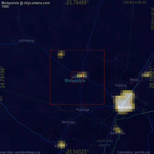
» NASA, Earths city lights 1995
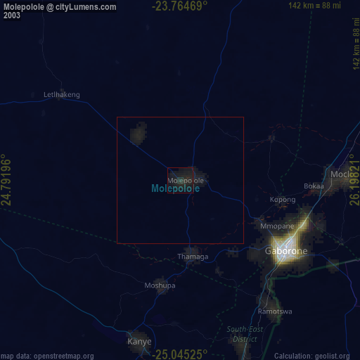
» NASA city lights 2003
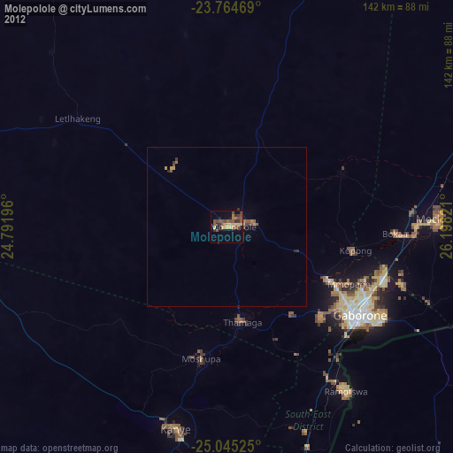
» Earth at Night: Flat Maps 2012, 2016