Fortuna night lights from space
Night Light of Fortuna (Maranhão) from space (Brazil) Src. Average luminocity for 10x10km area is 6.0227% and for 50x50km: 0.8554%.
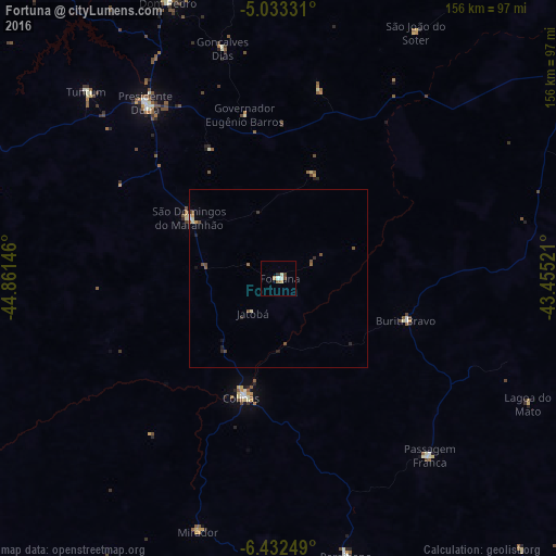
Analysis of Fortuna night lights 2016
Square area 10x10 km:
 0.62%
0.62%90-99
1.86%80-89
0%70-79
1.65%60-69
0%50-59
1.03%40-49
1.45%30-39
0%20-29
0.83%10-19
0%0-9
92.56%Square area 50x50 km:
0.04%90-99
0.14%80-89
0.06%70-79
0.14%60-69
0.03%50-59
0.29%40-49
0.24%30-39
0.09%20-29
0.22%10-19
0.09%0-9
98.65%Clear (daylight) street map image can be seen on geolist.org.
Map coordinates:
5° 1' 59.9" South, 44° 51' 41.3" West
5° 43' 60" South, 44° 9' 30" West
6° 25' 57" South, 43° 27' 18.8" West
Some cities around Fortuna sort by population:
• Presidente Dutra
61.5 km =38.2 mi,  323°
323°
• Colinas
34 km =21.1 mi,  197°
197°
• São Domingos do Maranhão
30.6 km =19 mi,  304°
304°
• Buriti Bravo
37.7 km =23.4 mi,  107°
107°
• Tuntum
75.8 km =47.1 mi,  314°
314°
• Paraibano
80.2 km =49.8 mi,  166°
166°
• Passagem Franca
64.7 km =40.2 mi,  140°
140°
• Mirador
74.4 km =46.2 mi, 197°
3399377 (p: 9,755)
Sources (retrieved 2019-11-25):
» Earth at Night: Flat Maps 2012, 2016