Três Rios night lights from space
Night Light of Três Rios (Rio de Janeiro) from space (Brazil) Src. Average luminocity for 10x10km area is 39.3095% and for 50x50km: 5.2966%.
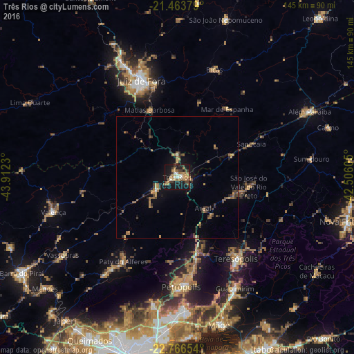

Analysis of Três Rios night lights 2016
Square area 10x10 km:
 2.58%
2.58%90-99
4.76%80-89
5.36%70-79
9.52%60-69
10.12%50-59
2.78%40-49
5.75%30-39
6.55%20-29
5.75%10-19
43.45%0-9
3.37%Square area 50x50 km:
0.13%90-99
0.26%80-89
0.44%70-79
1.14%60-69
1.28%50-59
0.67%40-49
0.93%30-39
1.19%20-29
1.02%10-19
3.86%0-9
89.08%Clear (daylight) street map image can be seen on geolist.org.
Map coordinates:
21° 27' 49.6" South, 43° 54' 44.3" West
22° 7' 0" South, 43° 12' 33" West
22° 45' 59.5" South, 42° 30' 21.8" West
Some cities around Três Rios sort by population:
• Juiz de Fora
41.8 km =26 mi,  339°
339°
• Teresópolis
41 km =25.5 mi,  144°
144°
• Paraíba do Sul
9.8 km =6.1 mi,  241°
241°
• Paty do Alferes
40.8 km =25.4 mi,  211°
211°
• Sapucaia
33.2 km =20.6 mi,  65°
65°
• Matias Barbosa
29.8 km =18.5 mi, 337°
• Areal
16.6 km =10.3 mi, 139°
• Mar de Espanha
34.5 km =21.4 mi,  36°
36°
3446065 (p: 71,944)
Sources (retrieved 2019-11-25):
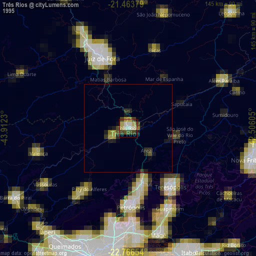
» NASA, Earths city lights 1995
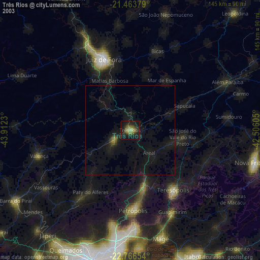
» NASA city lights 2003
» Earth at Night: Flat Maps 2012, 2016