São Miguel do Guamá night lights from space
Night Light of São Miguel do Guamá (Pará) from space (Brazil) Src. Average luminocity for 10x10km area is 19.4177% and for 50x50km: 1.4521%.
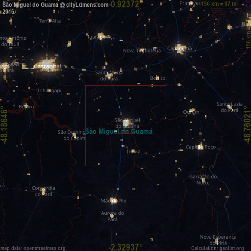
Analysis of São Miguel do Guamá night lights 2016
Square area 10x10 km:
 2.38%
2.38%90-99
4.11%80-89
3.03%70-79
3.46%60-69
0.22%50-59
3.25%40-49
2.6%30-39
1.73%20-29
0.87%10-19
6.71%0-9
71.65%Square area 50x50 km:
0.1%90-99
0.16%80-89
0.22%70-79
0.14%60-69
0.11%50-59
0.33%40-49
0.3%30-39
0.35%20-29
0.3%10-19
0.31%0-9
97.67%Clear (daylight) street map image can be seen on geolist.org.
Map coordinates:
0° 55' 25.4" South, 48° 11' 11.3" West
1° 37' 36" South, 47° 28' 60" West
2° 19' 45.7" South, 46° 46' 48.8" West
Some cities around São Miguel do Guamá sort by population:
• Castanhal
61.6 km =38.3 mi,  306°
306°
• Capanema
58.5 km =36.4 mi,  35°
35°
• Capitão Poço
49 km =30.4 mi,  105°
105°
• Igarapé Açu
57.4 km =35.7 mi,  344°
344°
• Santa Maria do Pará
32.4 km =20.1 mi, 341°
• Ourém
41.8 km =26 mi,  78°
78°
• Bujaru
63.6 km =39.5 mi,  281°
281°
• Irituia
16.8 km =10.4 mi,  162°
162°
3388270 (p: 28,265)
Sources (retrieved 2019-11-25):
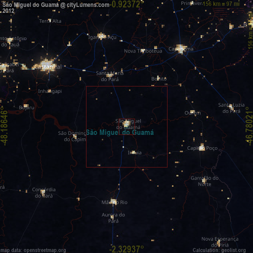
» Earth at Night: Flat Maps 2012, 2016