Rio Negro night lights from space
Night Light of Rio Negro (Paraná) from space (Brazil) Src. Average luminocity for 10x10km area is 40.0298% and for 50x50km: 2.504%.
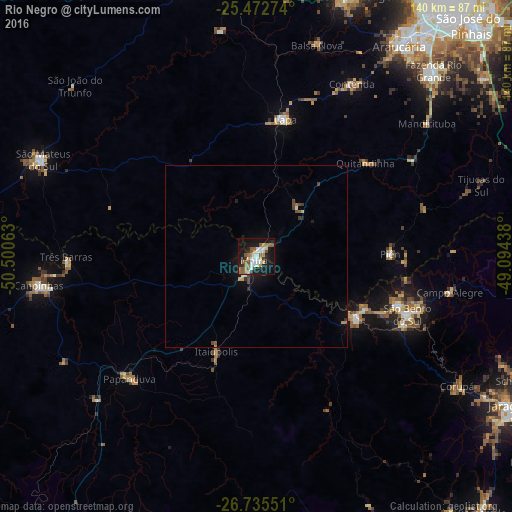
Analysis of Rio Negro night lights 2016
Square area 10x10 km:
 8.13%
8.13%90-99
7.74%80-89
1.79%70-79
3.57%60-69
8.13%50-59
10.32%40-49
1.59%30-39
3.37%20-29
6.15%10-19
39.48%0-9
9.72%Square area 50x50 km:
0.33%90-99
0.39%80-89
0.13%70-79
0.21%60-69
0.39%50-59
0.48%40-49
0.37%30-39
0.24%20-29
0.35%10-19
2.37%0-9
94.74%Clear (daylight) street map image can be seen on geolist.org.
Map coordinates:
25° 28' 21.9" South, 50° 30' 2.3" West
26° 6' 21" South, 49° 47' 51" West
26° 44' 7.8" South, 49° 5' 39.8" West
Some cities around Rio Negro sort by population:
• Araucária
68.9 km =42.8 mi,  34°
34°
• São Bento do Sul
44.8 km =27.8 mi,  111°
111°
• Mafra
1 km =0.6 mi,  231°
231°
• Canoinhas
59.7 km =37.1 mi,  262°
262°
• Lapa
38.3 km =23.8 mi,  12°
12°
• São Mateus do Sul
63.9 km =39.7 mi,  293°
293°
• Três Barras
52.4 km =32.6 mi,  269°
269°
• Corupá
65.7 km =40.8 mi,  122°
122°
3451121 (p: 23,006)
Sources (retrieved 2019-11-25):
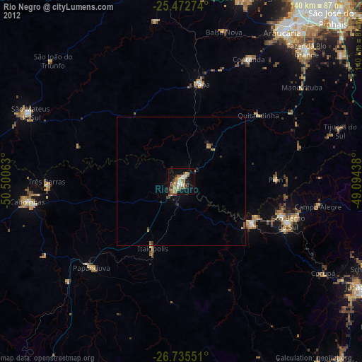
» Earth at Night: Flat Maps 2012, 2016