São Carlos night lights from space
Night Light of São Carlos (São Paulo) from space (Brazil) Src. Average luminocity for 10x10km area is 73.4425% and for 50x50km: 8.4706%.
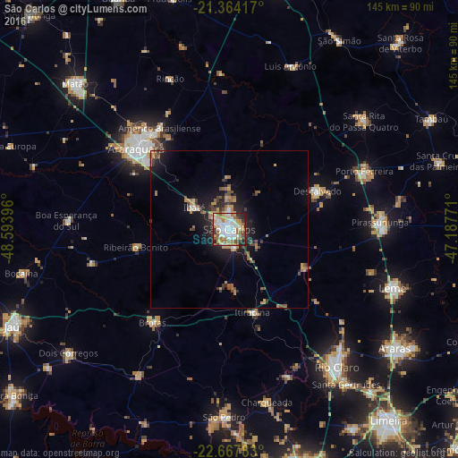
Analysis of São Carlos night lights 2016
Square area 10x10 km:
 19.64%
90-99
19.64%80-89
8.93%70-79
12.3%60-69
10.32%50-59
8.13%40-49
4.56%30-39
7.54%20-29
7.94%10-19
0.99%0-9
0%Square area 50x50 km:
0.93%90-99
0.99%80-89
0.79%70-79
1.77%60-69
1.22%50-59
1.09%40-49
1.32%30-39
1.05%20-29
2.61%10-19
5.64%0-9
82.59%Clear (daylight) street map image can be seen on geolist.org.
Map coordinates:
21° 21' 51" South, 48° 35' 38.3" West
22° 1' 3" South, 47° 53' 27" West
22° 40' 4.2" South, 47° 11' 15.8" West
Some cities around São Carlos sort by population:
• Araraquara
38.4 km =23.9 mi,  310°
310°
• Porto Ferreira
46.2 km =28.7 mi,  66°
66°
• Américo Brasiliense
39.2 km =24.4 mi,  326°
326°
• Ibaté
13 km =8.1 mi,  302°
302°
• Descalvado
30.7 km =19.1 mi, 65°
• Brotas
38.3 km =23.8 mi,  219°
219°
• Itirapina
27.1 km =16.8 mi,  165°
165°
• Ribeirão Bonito
29.9 km =18.6 mi,  259°
259°
3449319 (p: 205,035)
Sources (retrieved 2019-11-25):
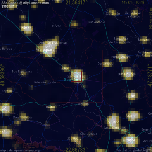
» NASA, Earths city lights 1995
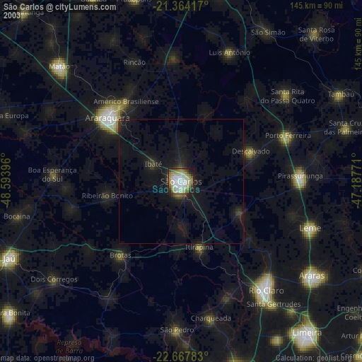
» NASA city lights 2003
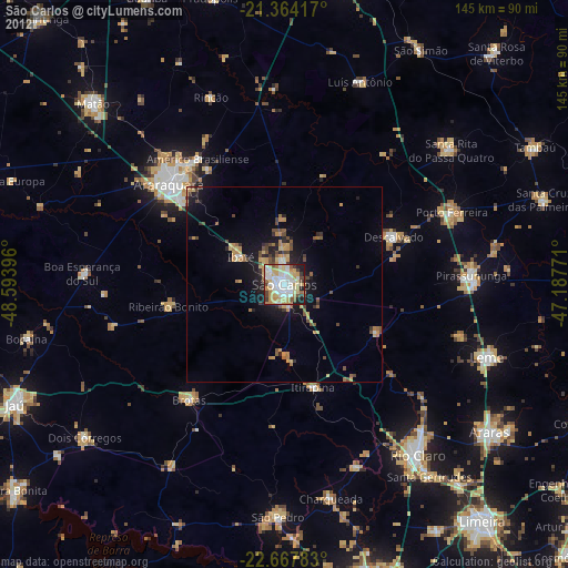
» Earth at Night: Flat Maps 2012, 2016