Santa Rosa night lights from space
Night Light of Santa Rosa (Rio Grande do Sul) from space (Brazil) Src. Average luminocity for 10x10km area is 37.767% and for 50x50km: 3.4425%.
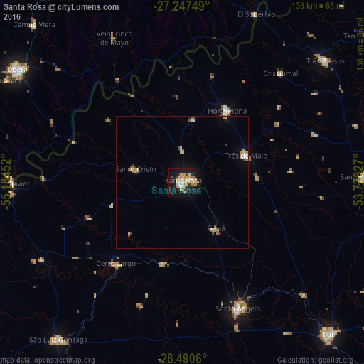
Analysis of Santa Rosa night lights 2016
Square area 10x10 km:
 3.6%
3.6%90-99
5.49%80-89
8.33%70-79
9.66%60-69
6.25%50-59
1.33%40-49
1.7%30-39
5.3%20-29
2.84%10-19
41.29%0-9
14.2%Square area 50x50 km:
0.22%90-99
0.39%80-89
0.84%70-79
0.58%60-69
0.59%50-59
0.24%40-49
0.29%30-39
0.42%20-29
0.2%10-19
2.18%0-9
94.05%Clear (daylight) street map image can be seen on geolist.org.
Map coordinates:
27° 14' 51" South, 55° 11' 4.3" West
27° 52' 15" South, 54° 28' 53" West
28° 29' 26.2" South, 53° 46' 41.8" West
Some cities around Santa Rosa sort by population:
• Santo Ângelo
52.2 km =32.4 mi,  155°
155°
• Três de Maio
26.1 km =16.2 mi,  65°
65°
• Horizontina
32.2 km =20 mi,  32°
32°
• Giruá
21.8 km =13.5 mi,  143°
143°
• Cerro Largo
39.9 km =24.8 mi,  219°
219°
• Colonia Aurora, AR
44.3 km =27.5 mi,  354°
354°
• Alba Posse, AR
38.9 km =24.2 mi,  329°
329°
• Panambí, AR
45.7 km =28.4 mi,  290°
290°
3449822 (p: 58,957)
Sources (retrieved 2019-11-25):
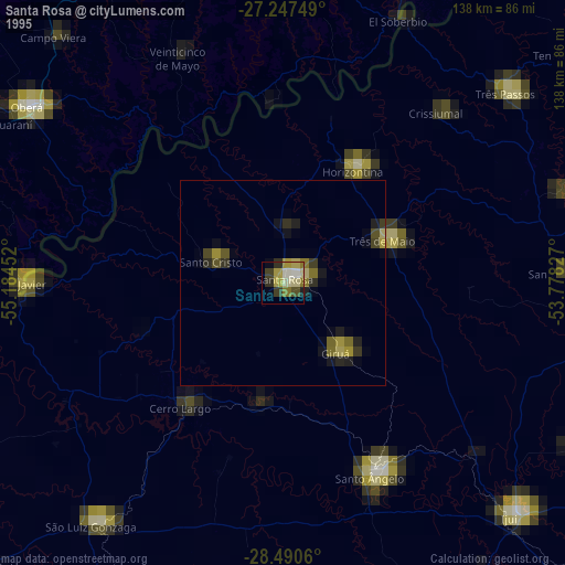
» NASA, Earths city lights 1995
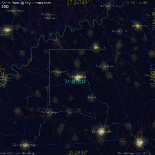
» NASA city lights 2003
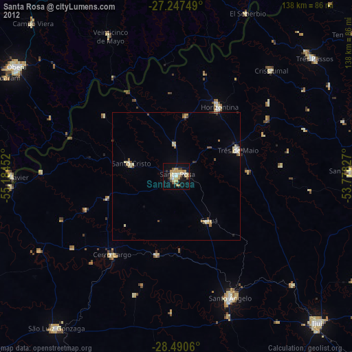
» Earth at Night: Flat Maps 2012, 2016