Colonia Aurora night lights from space
Night Light of Colonia Aurora (Misiones) from space (Argentina) Src. Average luminocity for 10x10km area is 1.2778% and for 50x50km: 1.425%.
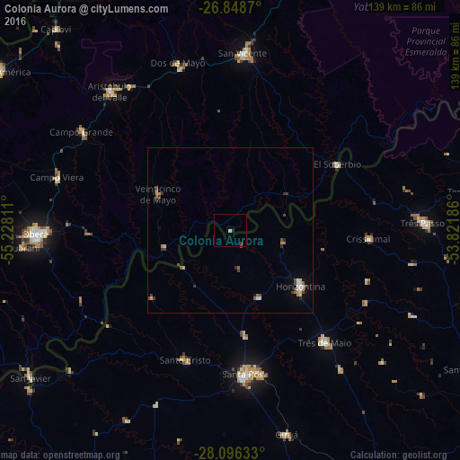
Analysis of Colonia Aurora night lights 2016
Square area 10x10 km:
 0%
0%90-99
0%80-89
0.6%70-79
0.2%60-69
0%50-59
0%40-49
0.4%30-39
0.6%20-29
0.99%10-19
0%0-9
97.22%Square area 50x50 km:
0.14%90-99
0.17%80-89
0.21%70-79
0.17%60-69
0.23%50-59
0.11%40-49
0.32%30-39
0.34%20-29
0.26%10-19
0.21%0-9
97.82%Clear (daylight) street map image can be seen on geolist.org.
Map coordinates:
26° 50' 55.3" South, 55° 13' 41.2" West
27° 28' 27.4" South, 54° 31' 29.9" West
28° 5' 46.8" South, 53° 49' 18.7" West
Some cities around Colonia Aurora sort by population:
• Santa Rosa, BR
44.3 km =27.5 mi,  174°
174°
• El Soberbio
37.7 km =23.4 mi,  58°
58°
• Três de Maio, BR
43.5 km =27 mi,  139°
139°
• Horizontina, BR
27.2 km =16.9 mi,  128°
128°
• Veinticinco de Mayo
24.1 km =15 mi,  296°
296°
• Campo Ramón
49 km =30.4 mi,  272°
272°
• Alba Posse
18.8 km =11.7 mi,  235°
235°
• Panambí
47.4 km =29.5 mi,  234°
234°
3435344 (p: 8,407)
Sources (retrieved 2019-11-25):
» Earth at Night: Flat Maps 2012, 2016