Mocajuba night lights from space
Night Light of Mocajuba (Pará) from space (Brazil) Src. Average luminocity for 10x10km area is 5.9913% and for 50x50km: 0.5603%.
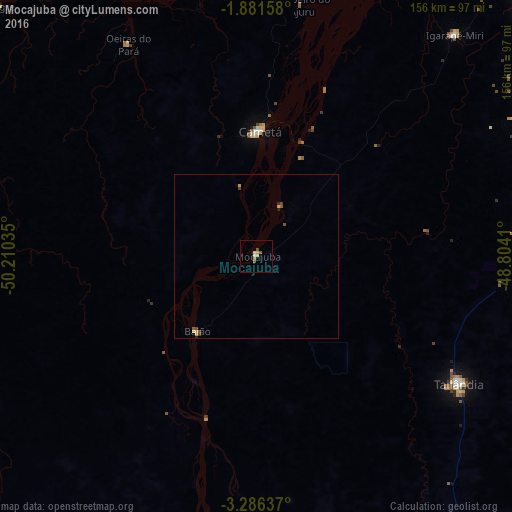
Analysis of Mocajuba night lights 2016
Square area 10x10 km:
 0.43%
0.43%90-99
0.43%80-89
2.38%70-79
1.08%60-69
0.43%50-59
1.73%40-49
0.43%30-39
0%20-29
0%10-19
0%0-9
93.07%Square area 50x50 km:
0.02%90-99
0.02%80-89
0.17%70-79
0.14%60-69
0.02%50-59
0.17%40-49
0.16%30-39
0.03%20-29
0.08%10-19
0.02%0-9
99.18%Clear (daylight) street map image can be seen on geolist.org.
Map coordinates:
1° 52' 53.7" South, 50° 12' 37.3" West
2° 35' 3" South, 49° 30' 26" West
3° 17' 10.9" South, 48° 48' 14.8" West
Some cities around Mocajuba sort by population:
• Abaetetuba
118.7 km =73.8 mi,  35°
35°
• Tucuruí
132.8 km =82.5 mi,  188°
188°
• Cametá
37.8 km =23.5 mi,  1°
1°
• Igarapé Miri
91 km =56.5 mi, 41°
• Moju
113.1 km =70.3 mi,  46°
46°
• Baião
29.3 km =18.2 mi,  218°
218°
• Oeiras do Pará
75.3 km =46.8 mi,  329°
329°
• Muaná
121.8 km =75.7 mi,  15°
15°
3394745 (p: 16,567)
Sources (retrieved 2019-11-25):
» Earth at Night: Flat Maps 2012, 2016