Baião night lights from space
Night Light of Baião (Pará) from space (Brazil) Src. Average luminocity for 10x10km area is 4.3939% and for 50x50km: 0.4373%.
Analysis of Baião night lights 2016
Square area 10x10 km:
 0%
0%90-99
0%80-89
1.08%70-79
1.52%60-69
0%50-59
1.3%40-49
1.3%30-39
0.87%20-29
0.65%10-19
0.22%0-9
93.07%Square area 50x50 km:
0.02%90-99
0.02%80-89
0.14%70-79
0.1%60-69
0.02%50-59
0.16%40-49
0.05%30-39
0.07%20-29
0.05%10-19
0.02%0-9
99.36%Clear (daylight) street map image can be seen on geolist.org.
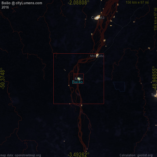
Map coordinates:
2° 5' 17.1" South, 50° 22' 29.3" West
2° 47' 26" South, 49° 40' 18" West
3° 29' 33.4" South, 48° 58' 6.8" West
Some cities around Baião sort by population:
• Abaetetuba
148 km =92 mi,  36°
36°
• Tucuruí
108.4 km =67.4 mi,  180°
180°
• Cametá
63.8 km =39.6 mi,  17°
17°
• Igarapé Miri
120.3 km =74.8 mi, 41°
• Moju
142.2 km =88.4 mi, 44°
• Mocajuba
29.3 km =18.2 mi, 38°
• Oeiras do Pará
89.9 km =55.9 mi,  346°
346°
• Muaná
149.2 km =92.7 mi, 19°
3406844 (p: 12,316)
Sources (retrieved 2019-11-25):
» Earth at Night: Flat Maps 2012, 2016