Moreno night lights from space
Night Light of Moreno (Pernambuco) from space (Brazil) Src. Average luminocity for 10x10km area is 43.7231% and for 50x50km: 39.5251%.
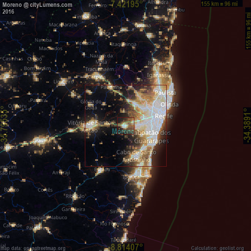
Analysis of Moreno night lights 2016
Square area 10x10 km:
 1.65%
1.65%90-99
5.37%80-89
4.75%70-79
2.27%60-69
8.26%50-59
15.7%40-49
15.7%30-39
13.43%20-29
11.36%10-19
21.07%0-9
0.41%Square area 50x50 km:
8.54%90-99
8.31%80-89
7.05%70-79
3.34%60-69
5.04%50-59
5.82%40-49
4.38%30-39
4.48%20-29
6.68%10-19
12.71%0-9
33.65%Clear (daylight) street map image can be seen on geolist.org.
Map coordinates:
7° 25' 19" South, 35° 47' 43.3" West
8° 7' 7" South, 35° 5' 32" West
8° 48' 50.7" South, 34° 23' 20.8" West
Some cities around Moreno sort by population:
• Recife
24.3 km =15.1 mi,  72°
72°
• Jaboatão
12.1 km =7.5 mi,  124°
124°
• Jaboatão dos Guararapes
8.6 km =5.3 mi,  85°
85°
• Olinda
28.8 km =17.9 mi,  64°
64°
• Cabo
19.4 km =12.1 mi,  160°
160°
• Vitória de Santo Antão
21.9 km =13.6 mi,  270°
270°
• São Lourenço da Mata
15.3 km =9.5 mi,  32°
32°
• Glória do Goitá
25.6 km =15.9 mi,  300°
300°
3394453 (p: 45,237)
Sources (retrieved 2019-11-25):
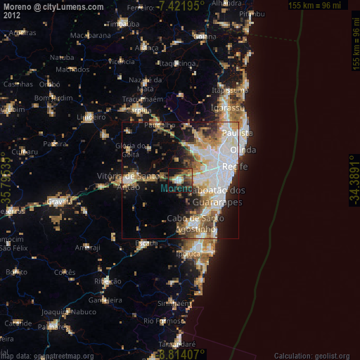
» Earth at Night: Flat Maps 2012, 2016