Itapecuru Mirim night lights from space
Night Light of Itapecuru Mirim (Maranhão) from space (Brazil) Src. Average luminocity for 10x10km area is 34.3052% and for 50x50km: 2.8782%.
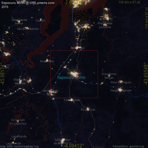
Analysis of Itapecuru Mirim night lights 2016
Square area 10x10 km:
 2.6%
2.6%90-99
4.33%80-89
8.66%70-79
3.25%60-69
7.14%50-59
5.19%40-49
4.11%30-39
5.63%20-29
2.81%10-19
35.71%0-9
20.56%Square area 50x50 km:
0.15%90-99
0.2%80-89
0.49%70-79
0.29%60-69
0.48%50-59
0.65%40-49
0.31%30-39
0.58%20-29
0.48%10-19
1.89%0-9
94.5%Clear (daylight) street map image can be seen on geolist.org.
Map coordinates:
2° 41' 25.3" South, 45° 3' 42.3" West
3° 23' 33" South, 44° 21' 31" West
4° 5' 38.8" South, 43° 39' 19.8" West
Some cities around Itapecuru Mirim sort by population:
• São Mateus do Maranhão
73.3 km =45.5 mi,  190°
190°
• Viana
74.1 km =46 mi,  284°
284°
• Vargem Grande
51.9 km =32.2 mi,  108°
108°
• Arari
47.3 km =29.4 mi,  261°
261°
• Vitória do Mearim
57.3 km =35.6 mi, 262°
• Cantanhede
26.9 km =16.7 mi,  184°
184°
• Pirapemas
40.1 km =24.9 mi,  157°
157°
• Anajatuba
32.3 km =20.1 mi,  296°
296°
3397936 (p: 34,943)
Sources (retrieved 2019-11-25):
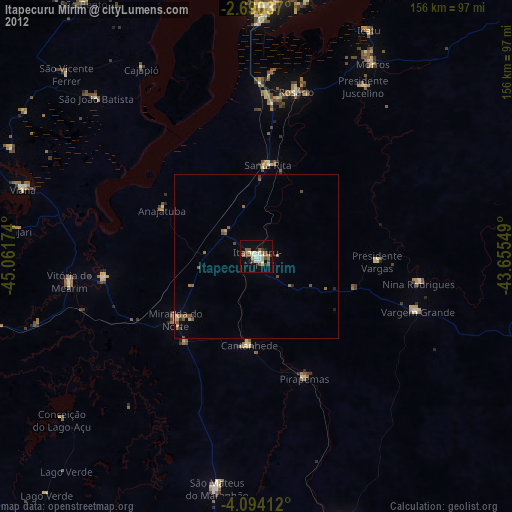
» Earth at Night: Flat Maps 2012, 2016