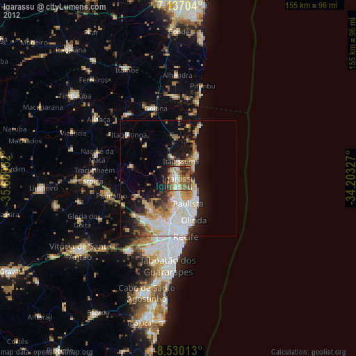
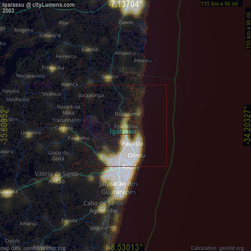
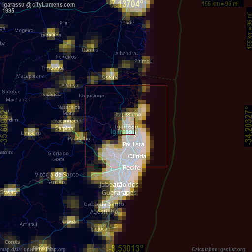
Igarassu night lights from space
Night Light of Igarassu (Pernambuco) from space (Brazil) Src. Average luminocity for 10x10km area is 66.1095% and for 50x50km: 27.1943%.
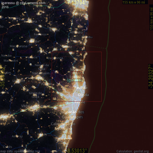
Analysis of Igarassu night lights 2016
Square area 10x10 km:
 4.55%
4.55%90-99
5.79%80-89
22.11%70-79
12.81%60-69
12.81%50-59
17.15%40-49
14.05%30-39
7.23%20-29
3.51%10-19
0%0-9
0%Square area 50x50 km:
4.96%90-99
4.71%80-89
5.53%70-79
2.95%60-69
3.46%50-59
3.67%40-49
3.43%30-39
3.15%20-29
5.43%10-19
11.64%0-9
51.08%Clear (daylight) street map image can be seen on geolist.org.
Map coordinates:
7° 8' 13.3" South, 35° 36' 34.3" West
7° 50' 3" South, 34° 54' 23" West
8° 31' 48.5" South, 34° 12' 11.8" West
Some cities around Igarassu sort by population:
• Recife
24.6 km =15.3 mi,  173°
173°
• Olinda
20.2 km =12.6 mi,  163°
163°
• Paulista
12.4 km =7.7 mi, 162°
• São Lourenço da Mata
22.4 km =13.9 mi,  213°
213°
• Abreu e Lima
8.6 km =5.3 mi,  177°
177°
• Itapissuma
6.6 km =4.1 mi,  13°
13°
• Itamaracá
13.1 km =8.1 mi,  42°
42°
• Araçoiaba
20.9 km =13 mi,  283°
283°
3398352 (p: 86,457)
Sources (retrieved 2019-11-25):
» NASA, Earths city lights 1995
» NASA city lights 2003
» Earth at Night: Flat Maps 2012, 2016