Abreu e Lima night lights from space
Night Light of Abreu e Lima (Pernambuco) from space (Brazil) Src. Average luminocity for 10x10km area is 83.2893% and for 50x50km: 33.2604%.
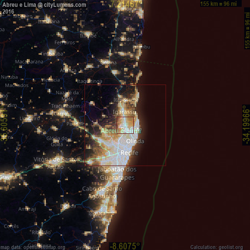

Analysis of Abreu e Lima night lights 2016
Square area 10x10 km:
 18.8%
18.8%90-99
22.93%80-89
21.28%70-79
12.4%60-69
16.74%50-59
5.58%40-49
2.07%30-39
0.21%20-29
0%10-19
0%0-9
0%Square area 50x50 km:
7.93%90-99
6.94%80-89
6.05%70-79
3.16%60-69
3.77%50-59
4.07%40-49
3.86%30-39
3.33%20-29
5.98%10-19
10.4%0-9
44.5%Clear (daylight) street map image can be seen on geolist.org.
Map coordinates:
7° 12' 52.8" South, 35° 36' 21.3" West
7° 54' 42" South, 34° 54' 10" West
8° 36' 27" South, 34° 11' 58.8" West
Some cities around Abreu e Lima sort by population:
• Recife
16 km =9.9 mi,  171°
171°
• Olinda
12 km =7.5 mi,  154°
154°
• Paulista
4.6 km =2.9 mi,  134°
134°
• São Lourenço da Mata
16.2 km =10.1 mi,  231°
231°
• Igarassu
8.6 km =5.3 mi,  357°
357°
• Itapissuma
15.1 km =9.4 mi,  4°
4°
• Itamaracá
20.1 km =12.5 mi,  25°
25°
• Araçoiaba
24.7 km =15.3 mi,  303°
303°
3408404 (p: 81,959)
Sources (retrieved 2019-11-25):
» NASA, Earths city lights 1995
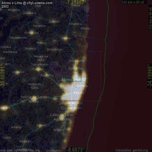
» NASA city lights 2003
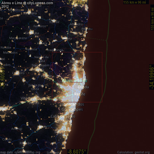
» Earth at Night: Flat Maps 2012, 2016