Guaxupé night lights from space
Night Light of Guaxupé (Minas Gerais) from space (Brazil) Src. Average luminocity for 10x10km area is 26.9167% and for 50x50km: 3.0158%.
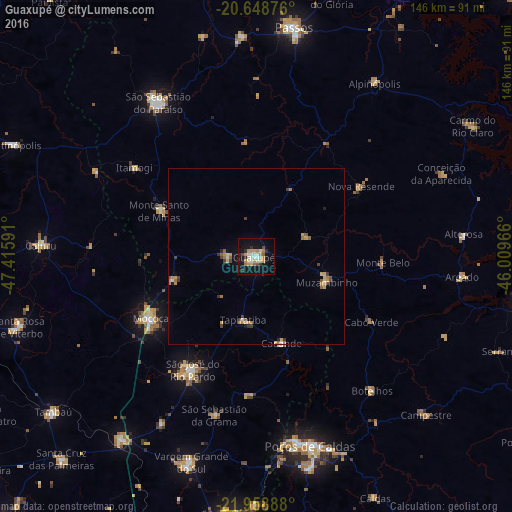
Analysis of Guaxupé night lights 2016
Square area 10x10 km:
 3.6%
3.6%90-99
4.36%80-89
2.65%70-79
6.06%60-69
4.55%50-59
1.52%40-49
2.27%30-39
1.33%20-29
3.98%10-19
30.68%0-9
39.02%Square area 50x50 km:
0.2%90-99
0.29%80-89
0.4%70-79
0.68%60-69
0.55%50-59
0.38%40-49
0.33%30-39
0.48%20-29
0.26%10-19
1.64%0-9
94.8%Clear (daylight) street map image can be seen on geolist.org.
Map coordinates:
20° 38' 55.5" South, 47° 24' 57.3" West
21° 18' 19" South, 46° 42' 46" West
21° 57' 32" South, 46° 0' 34.8" West
Some cities around Guaxupé sort by population:
• São Sebastião do Paraíso
52 km =32.3 mi,  326°
326°
• Mococa
35.2 km =21.9 mi,  239°
239°
• São José do Rio Pardo
37.1 km =23.1 mi,  209°
209°
• Guaranésia
9.3 km =5.8 mi,  274°
274°
• Monte Santo de Minas
30.6 km =19 mi,  294°
294°
• Muzambinho
20.9 km =13 mi,  112°
112°
• Caconde
25.9 km =16.1 mi,  164°
164°
• Botelhos
49.1 km =30.5 mi,  137°
137°
3461763 (p: 47,889)
Sources (retrieved 2019-11-25):
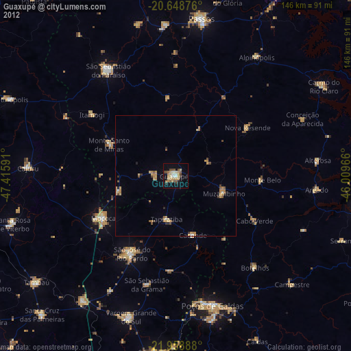
» Earth at Night: Flat Maps 2012, 2016