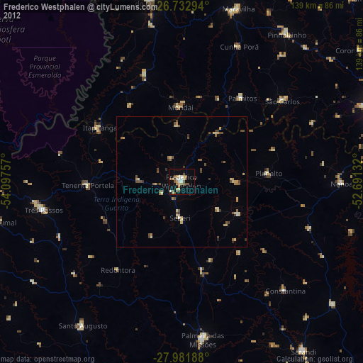
Frederico Westphalen night lights from space
Night Light of Frederico Westphalen (Rio Grande do Sul) from space (Brazil) Src. Average luminocity for 10x10km area is 24.2386% and for 50x50km: 3.5772%.
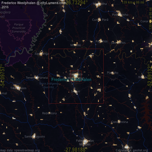
Analysis of Frederico Westphalen night lights 2016
Square area 10x10 km:
 0.95%
0.95%90-99
2.84%80-89
5.87%70-79
3.98%60-69
3.6%50-59
1.7%40-49
2.46%30-39
6.25%20-29
2.08%10-19
22.73%0-9
47.54%Square area 50x50 km:
0.14%90-99
0.27%80-89
0.86%70-79
0.45%60-69
0.58%50-59
0.46%40-49
0.39%30-39
0.93%20-29
0.52%10-19
1.09%0-9
94.32%Clear (daylight) street map image can be seen on geolist.org.
Map coordinates:
26° 43' 58.6" South, 54° 5' 51.3" West
27° 21' 33" South, 53° 23' 40" West
27° 58' 54.8" South, 52° 41' 28.8" West
Some cities around Frederico Westphalen sort by population:
• Chapecó
82.1 km =51 mi,  69°
69°
• Palmeira das Missões
60.6 km =37.7 mi,  172°
172°
• El Soberbio, AR
79.7 km =49.5 mi,  274°
274°
• Três de Maio
95.2 km =59.2 mi,  241°
241°
• Três Passos
54.1 km =33.6 mi,  258°
258°
• Sarandi
79.9 km =49.6 mi,  144°
144°
• Horizontina
94.8 km =58.9 mi,  251°
251°
• Santo Augusto
66.4 km =41.3 mi,  214°
214°
3462956 (p: 20,896)
Sources (retrieved 2019-11-25):
» Earth at Night: Flat Maps 2012, 2016