Biguaçu night lights from space
Night Light of Biguaçu (Santa Catarina) from space (Brazil) Src. Average luminocity for 10x10km area is 39.2222% and for 50x50km: 24.6901%.

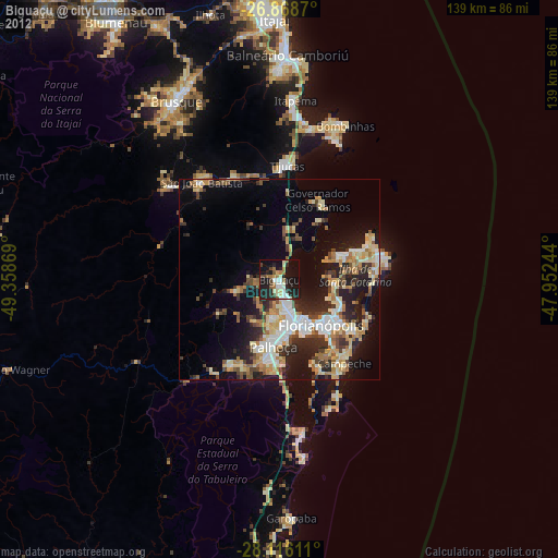
Analysis of Biguaçu night lights 2016
Square area 10x10 km:
 7.94%
7.94%90-99
8.33%80-89
0.79%70-79
2.38%60-69
4.56%50-59
4.56%40-49
5.16%30-39
8.33%20-29
21.63%10-19
30.16%0-9
6.15%Square area 50x50 km:
4.54%90-99
4.65%80-89
2.14%70-79
2.7%60-69
2.52%50-59
3.75%40-49
3.8%30-39
4.9%20-29
8.25%10-19
11.18%0-9
51.59%Clear (daylight) street map image can be seen on geolist.org.
Map coordinates:
26° 52' 7.3" South, 49° 21' 31.3" West
27° 29' 39" South, 48° 39' 20" West
28° 6' 58" South, 47° 57' 8.8" West
Some cities around Biguaçu sort by population:
• Florianópolis
15.5 km =9.6 mi,  137°
137°
• Palhoça
16.8 km =10.4 mi,  184°
184°
• Campinas
12.1 km =7.5 mi,  156°
156°
• Trindade
16.6 km =10.3 mi,  128°
128°
• Saco dos Limoes
17.3 km =10.7 mi, 137°
• Itacorubi
18.7 km =11.6 mi,  122°
122°
• Costeira do Pirajubae
20.6 km =12.8 mi, 139°
• Santa Monica
18.2 km =11.3 mi, 126°
3470003 (p: 51,992)
Sources (retrieved 2019-11-25):
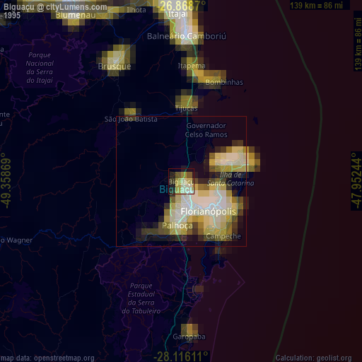
» NASA, Earths city lights 1995
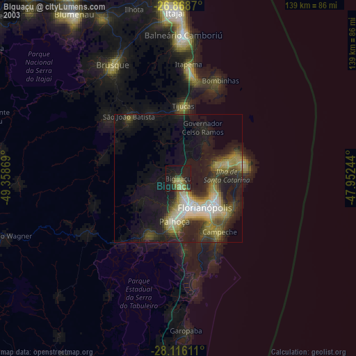
» NASA city lights 2003
» Earth at Night: Flat Maps 2012, 2016