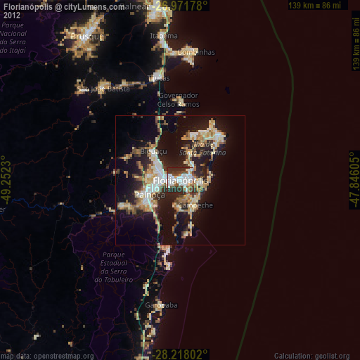
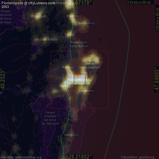
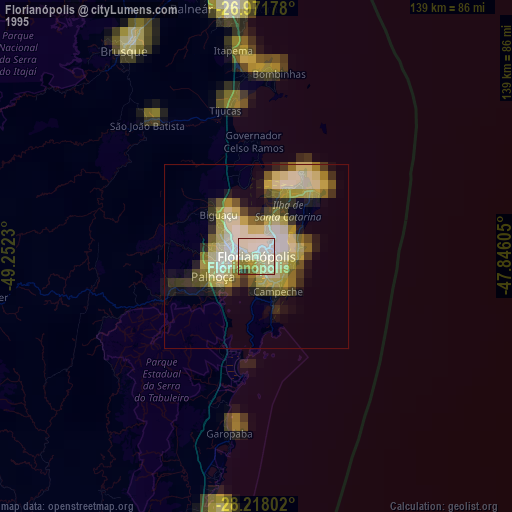
Florianópolis night lights from space
Night Light of Florianópolis (Santa Catarina) from space (Brazil) Src. Average luminocity for 10x10km area is 70.2202% and for 50x50km: 25.5395%.
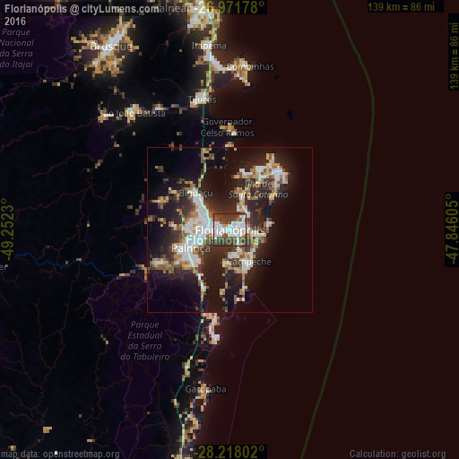
Analysis of Florianópolis night lights 2016
Square area 10x10 km:
 25.4%
25.4%90-99
20.44%80-89
0.6%70-79
3.17%60-69
1.79%50-59
11.51%40-49
18.65%30-39
17.46%20-29
0.99%10-19
0%0-9
0%Square area 50x50 km:
4.67%90-99
4.83%80-89
2.27%70-79
2.52%60-69
2.7%50-59
3.72%40-49
3.65%30-39
4.55%20-29
8.76%10-19
16.02%0-9
46.32%Clear (daylight) street map image can be seen on geolist.org.
Map coordinates:
26° 58' 18.4" South, 49° 15' 8.3" West
27° 35' 48" South, 48° 32' 57" West
28° 13' 4.9" South, 47° 50' 45.8" West
Some cities around Florianópolis sort by population:
• Ribeirão da Ilha
11.5 km =7.1 mi,  171°
171°
• Campinas
5.7 km =3.5 mi,  272°
272°
• Trindade
2.8 km =1.7 mi,  65°
65°
• Saco dos Limoes
1.9 km =1.2 mi,  135°
135°
• Itacorubi
5.5 km =3.4 mi, 74°
• Costeira do Pirajubae
5.2 km =3.2 mi,  147°
147°
• Lagoa
8.1 km =5 mi,  96°
96°
• Santa Monica
4.1 km =2.5 mi,  81°
81°
3463237 (p: 412,724)
Sources (retrieved 2019-11-25):
» NASA, Earths city lights 1995
» NASA city lights 2003
» Earth at Night: Flat Maps 2012, 2016