Bataiporã night lights from space
Night Light of Bataiporã (Mato Grosso do Sul) from space (Brazil) Src. Average luminocity for 10x10km area is 7.7973% and for 50x50km: 1.5685%.
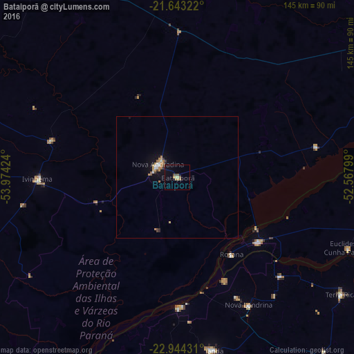
Analysis of Bataiporã night lights 2016
Square area 10x10 km:
 0%
0%90-99
0%80-89
2.46%70-79
1.33%60-69
0.76%50-59
0.76%40-49
2.27%30-39
0%20-29
0%10-19
4.17%0-9
88.26%Square area 50x50 km:
0.13%90-99
0.16%80-89
0.21%70-79
0.39%60-69
0.28%50-59
0.08%40-49
0.19%30-39
0.15%20-29
0.08%10-19
1.13%0-9
97.21%Clear (daylight) street map image can be seen on geolist.org.
Map coordinates:
21° 38' 35.6" South, 53° 58' 27.3" West
22° 17' 43" South, 53° 16' 16" West
22° 56' 39.5" South, 52° 34' 4.8" West
Some cities around Bataiporã sort by population:
• Paranavaí
119.6 km =74.3 mi,  136°
136°
• Naviraí
127.4 km =79.2 mi,  227°
227°
• Loanda
71.1 km =44.2 mi,  168°
168°
• Teodoro Sampaio
116.5 km =72.4 mi,  103°
103°
• Pôrto Barra do Ivinheima
85 km =52.8 mi,  208°
208°
• Nova Londrina
60 km =37.3 mi,  150°
150°
• Terra Rica
81.5 km =50.6 mi,  124°
124°
• Nova Aurora
96.3 km =59.8 mi,  131°
131°
3470338 (p: 7,346)
Sources (retrieved 2019-11-25):
» Earth at Night: Flat Maps 2012, 2016