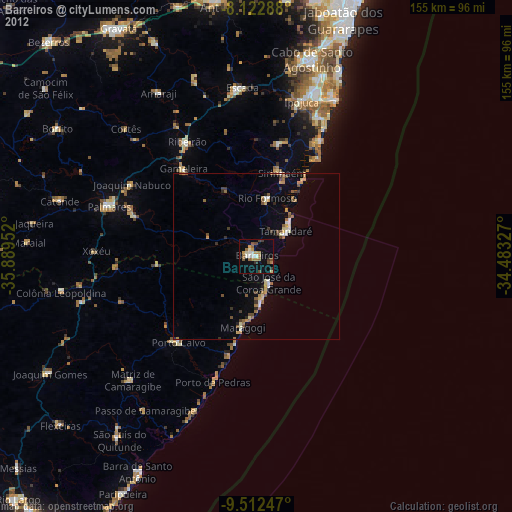
Barreiros night lights from space
Night Light of Barreiros (Pernambuco) from space (Brazil) Src. Average luminocity for 10x10km area is 19.4401% and for 50x50km: 5.2227%.

Analysis of Barreiros night lights 2016
Square area 10x10 km:
 0.62%
0.62%90-99
3.31%80-89
2.89%70-79
3.93%60-69
3.31%50-59
0.21%40-49
3.1%30-39
0.83%20-29
2.48%10-19
15.91%0-9
63.43%Square area 50x50 km:
0.24%90-99
0.67%80-89
0.78%70-79
0.66%60-69
0.86%50-59
0.44%40-49
0.79%30-39
0.61%20-29
0.61%10-19
3.8%0-9
90.53%Clear (daylight) street map image can be seen on geolist.org.
Map coordinates:
8° 7' 22.4" South, 35° 53' 22.3" West
8° 49' 6" South, 35° 11' 11" West
9° 30' 44.9" South, 34° 28' 59.8" West
Some cities around Barreiros sort by population:
• Sirinhaém
26.4 km =16.4 mi,  16°
16°
• Gameleira
34.1 km =21.2 mi,  319°
319°
• Tamandaré
11.7 km =7.3 mi,  54°
54°
• Porto Calvo
34.3 km =21.3 mi,  222°
222°
• Água Preta
39.8 km =24.7 mi,  288°
288°
• Maragogi
21.9 km =13.6 mi,  190°
190°
• Rio Formoso
16.8 km =10.4 mi,  8°
8°
• São José da Coroa Grande
9.8 km =6.1 mi,  154°
154°
3406160 (p: 35,565)
Sources (retrieved 2019-11-25):
» Earth at Night: Flat Maps 2012, 2016