Araripe night lights from space
Night Light of Araripe (Ceará) from space (Brazil) Src. Average luminocity for 10x10km area is 0.5476% and for 50x50km: 0.704%.
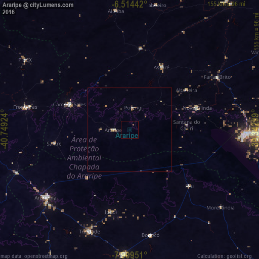
Analysis of Araripe night lights 2016
Square area 10x10 km:
 0%
0%90-99
0%80-89
0%70-79
0%60-69
0%50-59
0.87%40-49
0%30-39
0%20-29
0%10-19
0%0-9
99.13%Square area 50x50 km:
0.05%90-99
0.07%80-89
0.1%70-79
0.09%60-69
0.11%50-59
0.15%40-49
0.15%30-39
0.11%20-29
0.14%10-19
0.24%0-9
98.79%Clear (daylight) street map image can be seen on geolist.org.
Map coordinates:
6° 30' 51.9" South, 40° 44' 57.3" West
7° 12' 48.1" South, 40° 8' 13.2" West
7° 54' 34.2" South, 39° 20' 34.8" West
Some cities around Araripe sort by population:
• Ouricuri
74.6 km =46.4 mi,  175°
175°
• Trindade
62.7 km =39 mi,  193°
193°
• Campos Sales
30.6 km =19 mi,  300°
300°
• Ipueiras
39.9 km =24.8 mi, 300°
• Ipubi
48.8 km =30.3 mi, 181°
• Assaré
47.5 km =29.5 mi,  37°
37°
• Farias Brito
70.5 km =43.8 mi,  63°
63°
• Exu
56.3 km =35 mi,  126°
126°
3407248 (p: 11,860)
Sources (retrieved 2019-11-25):
» Earth at Night: Flat Maps 2012, 2016