Adamantina night lights from space
Night Light of Adamantina (São Paulo) from space (Brazil) Src. Average luminocity for 10x10km area is 25.3958% and for 50x50km: 3.9474%.
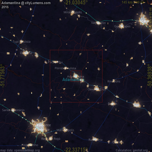
Analysis of Adamantina night lights 2016
Square area 10x10 km:
 4.17%
4.17%90-99
4.17%80-89
1.14%70-79
3.79%60-69
4.55%50-59
2.65%40-49
3.6%30-39
2.46%20-29
0.76%10-19
32.58%0-9
40.15%Square area 50x50 km:
0.42%90-99
0.44%80-89
0.34%70-79
0.71%60-69
0.77%50-59
0.4%40-49
0.7%30-39
0.33%20-29
0.31%10-19
2.43%0-9
93.15%Clear (daylight) street map image can be seen on geolist.org.
Map coordinates:
21° 1' 49.6" South, 51° 46' 32.3" West
21° 41' 7" South, 51° 4' 21" West
22° 20' 13.7" South, 50° 22' 9.8" West
Some cities around Adamantina sort by population:
• Osvaldo Cruz
23.5 km =14.6 mi,  121°
121°
• Martinópolis
52.2 km =32.4 mi,  191°
191°
• Bastos
43.8 km =27.2 mi,  126°
126°
• Valparaíso
55.1 km =34.2 mi,  22°
22°
• Lucélia
6.8 km =4.2 mi, 125°
• Junqueirópolis
41.9 km =26 mi,  296°
296°
• Pacaembu
23.8 km =14.8 mi,  305°
305°
• Paulista Flórida
16.2 km =10.1 mi, 305°
3473157 (p: 31,078)
Sources (retrieved 2019-11-25):
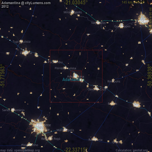
» Earth at Night: Flat Maps 2012, 2016