Troyan night lights from space
Night Light of Troyan (Lovech) from space (Bulgaria) Src. Average luminocity for 10x10km area is 2.8746% and for 50x50km: 0.2539%.
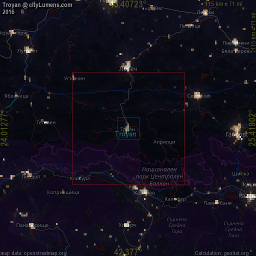
Analysis of Troyan night lights 2016
Square area 10x10 km:
 0%
0%90-99
0%80-89
0%70-79
0%60-69
0%50-59
2.22%40-49
2.06%30-39
0.79%20-29
0.95%10-19
0.32%0-9
93.65%Square area 50x50 km:
0%90-99
0%80-89
0%70-79
0%60-69
0.03%50-59
0.09%40-49
0.13%30-39
0.06%20-29
0.11%10-19
0.09%0-9
99.49%Clear (daylight) street map image can be seen on geolist.org.
Map coordinates:
43° 24' 26" North, 24° 0' 46" East
42° 53' 39.4" North, 24° 42' 57.2" East
42° 22' 37.2" North, 25° 25' 8.5" East
Some cities around Troyan sort by population:
• Gabrovo
50.4 km =31.3 mi,  92°
92°
• Lovech
26.6 km =16.5 mi,  0°
0°
• Sevlievo
35.5 km =22.1 mi,  65°
65°
• Karlovo
29.8 km =18.5 mi,  166°
166°
• Teteven
36.7 km =22.8 mi,  273°
273°
• Pirdop
48.5 km =30.1 mi,  243°
243°
• Hisarya
43.9 km =27.3 mi,  181°
181°
• Zlatitsa
51.5 km =32 mi,  247°
247°
726320 (p: 21,162)
Sources (retrieved 2019-11-25):
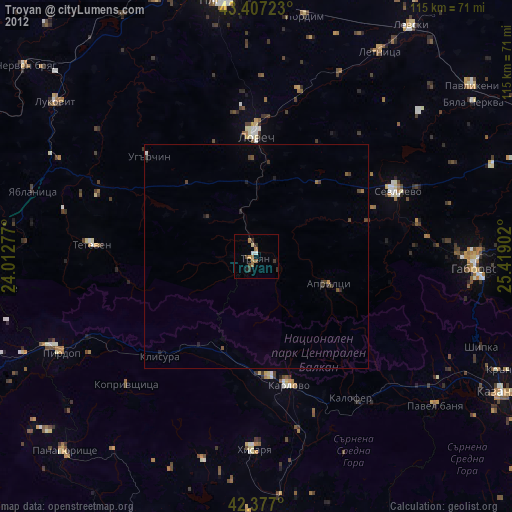
» Earth at Night: Flat Maps 2012, 2016