Sevlievo night lights from space
Night Light of Sevlievo (Gabrovo) from space (Bulgaria) Src. Average luminocity for 10x10km area is 9.1683% and for 50x50km: 1.8822%.
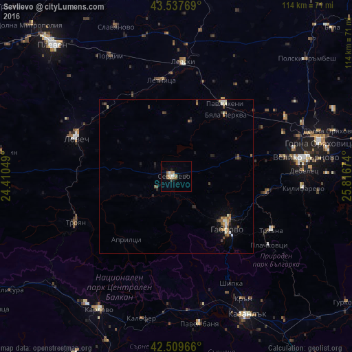
Analysis of Sevlievo night lights 2016
Square area 10x10 km:
 1.43%
1.43%90-99
1.75%80-89
0%70-79
1.43%60-69
2.7%50-59
0.95%40-49
0.63%30-39
0.63%20-29
0.79%10-19
0.48%0-9
89.21%Square area 50x50 km:
0.15%90-99
0.32%80-89
0.13%70-79
0.22%60-69
0.31%50-59
0.35%40-49
0.29%30-39
0.23%20-29
0.3%10-19
0.79%0-9
96.91%Clear (daylight) street map image can be seen on geolist.org.
Map coordinates:
43° 32' 15.7" North, 24° 24' 37.8" East
43° 1' 33" North, 25° 6' 49" East
42° 30' 34.8" North, 25° 49' 0.3" East
Some cities around Sevlievo sort by population:
• Veliko Tŭrnovo
42.3 km =26.3 mi,  81°
81°
• Gabrovo
24.6 km =15.3 mi,  133°
133°
• Lovech
34.4 km =21.4 mi,  290°
290°
• Troyan
35.5 km =22.1 mi,  245°
245°
• Tryavna
36.1 km =22.4 mi,  119°
119°
• Pavlikeni
29.5 km =18.3 mi,  35°
35°
• Levski
37.9 km =23.5 mi,  2°
2°
• Dryanovo
30.1 km =18.7 mi,  99°
99°
727337 (p: 24,582)
Sources (retrieved 2019-11-25):
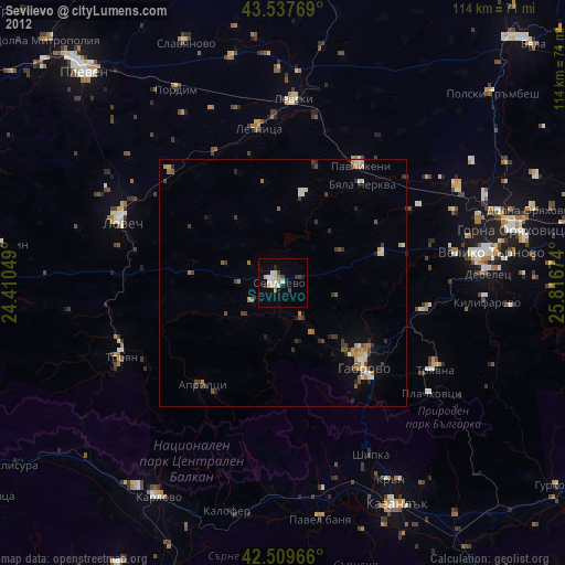
» Earth at Night: Flat Maps 2012, 2016