Gabrovo night lights from space
Night Light of Gabrovo from space (Bulgaria) Src. Average luminocity for 10x10km area is 20.1952% and for 50x50km: 2.9612%.
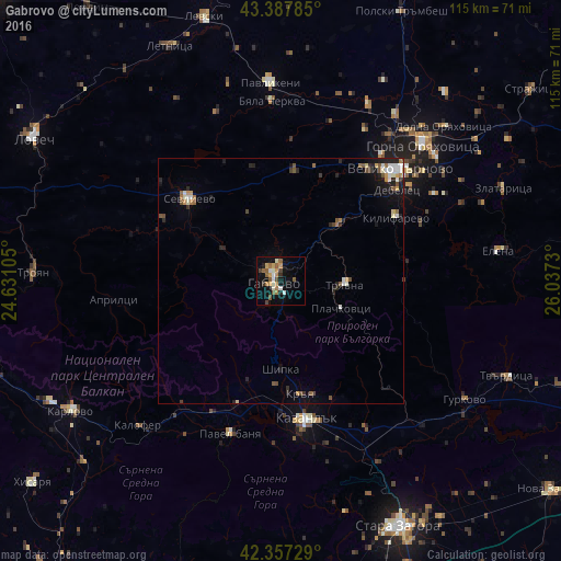
Analysis of Gabrovo night lights 2016
Square area 10x10 km:
 1.75%
1.75%90-99
3.97%80-89
0.63%70-79
3.81%60-69
3.33%50-59
5.08%40-49
2.54%30-39
1.27%20-29
1.43%10-19
14.6%0-9
61.59%Square area 50x50 km:
0.37%90-99
0.48%80-89
0.21%70-79
0.32%60-69
0.4%50-59
0.56%40-49
0.4%30-39
0.27%20-29
0.69%10-19
1.74%0-9
94.56%Clear (daylight) street map image can be seen on geolist.org.
Map coordinates:
43° 23' 16.3" North, 24° 37' 51.8" East
42° 52' 29" North, 25° 20' 3" East
42° 21' 26.2" North, 26° 2' 14.3" East
Some cities around Gabrovo sort by population:
• Veliko Tŭrnovo
33.2 km =20.6 mi,  46°
46°
• Kazanlak
29.2 km =18.1 mi,  169°
169°
• Gorna Oryahovitsa
41 km =25.5 mi, 46°
• Sevlievo
24.6 km =15.3 mi,  313°
313°
• Tryavna
13.5 km =8.4 mi,  93°
93°
• Pavlikeni
40.9 km =25.4 mi,  358°
358°
• Lyaskovets
41.5 km =25.8 mi, 50°
• Dryanovo
16.5 km =10.3 mi, 45°
731549 (p: 66,175)
Sources (retrieved 2019-11-25):
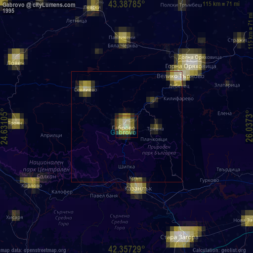
» NASA, Earths city lights 1995
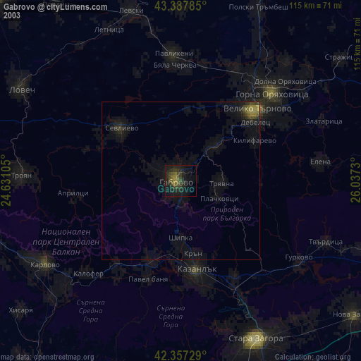
» NASA city lights 2003
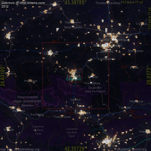
» Earth at Night: Flat Maps 2012, 2016