Karlovo night lights from space
Night Light of Karlovo (Plovdiv) from space (Bulgaria) Src. Average luminocity for 10x10km area is 12.2182% and for 50x50km: 1.1414%.
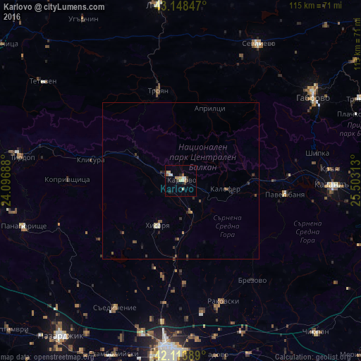
Analysis of Karlovo night lights 2016
Square area 10x10 km:
 0.91%
0.91%90-99
2.42%80-89
2.73%70-79
1.06%60-69
1.21%50-59
0.76%40-49
2.42%30-39
0.61%20-29
1.82%10-19
0.91%0-9
85.15%Square area 50x50 km:
0.06%90-99
0.16%80-89
0.18%70-79
0.1%60-69
0.09%50-59
0.22%40-49
0.3%30-39
0.18%20-29
0.24%10-19
0.15%0-9
98.31%Clear (daylight) street map image can be seen on geolist.org.
Map coordinates:
43° 8' 54.5" North, 24° 5' 48.8" East
42° 37' 60" North, 24° 48' 0" East
42° 6' 50" North, 25° 30' 11.3" East
Some cities around Karlovo sort by population:
• Gabrovo
51.2 km =31.8 mi,  58°
58°
• Kazanlak
49.1 km =30.5 mi,  92°
92°
• Sevlievo
50.6 km =31.4 mi,  30°
30°
• Troyan
29.8 km =18.5 mi,  346°
346°
• Rakovski
41.6 km =25.8 mi,  163°
163°
• Pirdop
51 km =31.7 mi,  278°
278°
• Hisarya
16.9 km =10.5 mi,  208°
208°
• Saedinenie
45.6 km =28.3 mi, 206°
730565 (p: 19,958)
Sources (retrieved 2019-11-25):
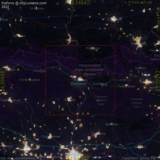
» Earth at Night: Flat Maps 2012, 2016