Kubrat night lights from space
Night Light of Kubrat (Razgrad) from space (Bulgaria) Src. Average luminocity for 10x10km area is 1.9439% and for 50x50km: 0.4278%.
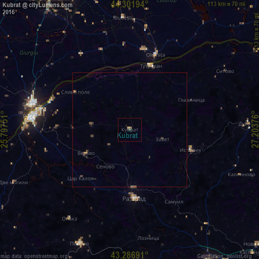
Analysis of Kubrat night lights 2016
Square area 10x10 km:
 0%
0%90-99
0%80-89
0%70-79
0.61%60-69
0.61%50-59
0%40-49
1.21%30-39
0%20-29
0.61%10-19
1.21%0-9
95.76%Square area 50x50 km:
0%90-99
0%80-89
0.03%70-79
0.06%60-69
0.09%50-59
0.04%40-49
0.27%30-39
0.1%20-29
0.17%10-19
0.09%0-9
99.15%Clear (daylight) street map image can be seen on geolist.org.
Map coordinates:
44° 18' 7" North, 25° 47' 51" East
43° 47' 47.7" North, 26° 30' 2.3" East
43° 17' 12.9" North, 27° 12' 13.5" East
Some cities around Kubrat sort by population:
• Razgrad
29.3 km =18.2 mi,  177°
177°
• Olteniţa, RO
33.6 km =20.9 mi,  18°
18°
• Tutrakan
29.5 km =18.3 mi, 17°
• Isperih
28.2 km =17.5 mi,  108°
108°
• Hotarele, RO
43.1 km =26.8 mi,  345°
345°
• Chirnogi, RO
36 km =22.4 mi,  8°
8°
• Ulmeni, RO
42.9 km =26.7 mi, 23°
• Vetovo
21.6 km =13.4 mi,  240°
240°
729839 (p: 8,980)
Sources (retrieved 2019-11-25):
» Earth at Night: Flat Maps 2012, 2016