Hotarele night lights from space
Night Light of Hotarele (Giurgiu) from space (Romania) Src. Average luminocity for 10x10km area is 1.0455% and for 50x50km: 5.9892%.
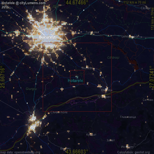
Analysis of Hotarele night lights 2016
Square area 10x10 km:
 0%
0%90-99
0%80-89
0%70-79
0%60-69
0%50-59
0%40-49
0.3%30-39
1.82%20-29
0%10-19
0.61%0-9
97.27%Square area 50x50 km:
0.69%90-99
0.99%80-89
0.52%70-79
0.83%60-69
0.94%50-59
0.89%40-49
1.29%30-39
1.02%20-29
1.72%10-19
2.34%0-9
88.77%Clear (daylight) street map image can be seen on geolist.org.
Map coordinates:
44° 40' 28.8" North, 25° 40' 1.8" East
44° 10' 21" North, 26° 22' 13" East
43° 39' 57.7" North, 27° 4' 24.3" East
Some cities around Hotarele sort by population:
• Budeşti
10.3 km =6.4 mi,  47°
47°
• Chirnogi
16.9 km =10.5 mi,  111°
111°
• Vasilaţi
14.2 km =8.8 mi,  25°
25°
• Comana
18 km =11.2 mi,  269°
269°
• Vărăşti
12.1 km =7.5 mi,  306°
306°
• Curcani
17.3 km =10.7 mi,  79°
79°
• Frumuşani
14.2 km =8.8 mi,  345°
345°
• Radovanu
12.1 km =7.5 mi, 75°
675968 (p: 8,790)
Sources (retrieved 2019-11-25):
» Earth at Night: Flat Maps 2012, 2016