Knezha night lights from space
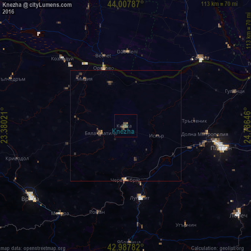
Night Light of Knezha (Pleven) from space (Bulgaria) Src. Average luminocity for 10x10km area is 4.2587% and for 50x50km: 0.7469%.
Analysis of Knezha night lights 2016
Square area 10x10 km:
 0%
0%90-99
0%80-89
0%70-79
0%60-69
0%50-59
3.17%40-49
3.02%30-39
0.16%20-29
2.06%10-19
0.48%0-9
91.11%Square area 50x50 km:
0.01%90-99
0.02%80-89
0.03%70-79
0.07%60-69
0.07%50-59
0.21%40-49
0.34%30-39
0.31%20-29
0.34%10-19
0.15%0-9
98.45%Clear (daylight) street map image can be seen on geolist.org.
Map coordinates:
44° 0' 28.3" North, 23° 22' 48.8" East
43° 30' 0" North, 24° 4' 60" East
42° 59' 16.2" North, 24° 47' 11.3" East
Some cities around Knezha sort by population:
• Dăbuleni, RO
33.4 km =20.8 mi,  0°
0°
• Byala Slatina
12.7 km =7.9 mi,  252°
252°
• Cherven Bryag
24.6 km =15.3 mi,  180°
180°
• Lukovit
34 km =21.1 mi,  168°
168°
• Călăraşi, RO
33.5 km =20.8 mi,  355°
355°
• Ostroveni, RO
36.5 km =22.7 mi,  336°
336°
• Oryahovo
28.1 km =17.5 mi, 339°
• Dolni Dabnik
30.4 km =18.9 mi,  111°
111°
730287 (p: 6,889)
Sources (retrieved 2019-11-25):
» Earth at Night: Flat Maps 2012, 2016