Byala Slatina night lights from space
Night Light of Byala Slatina (Vratsa) from space (Bulgaria) Src. Average luminocity for 10x10km area is 3.4365% and for 50x50km: 0.7413%.
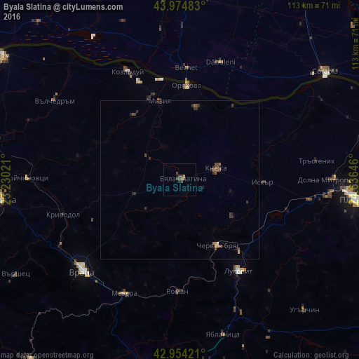
Analysis of Byala Slatina night lights 2016
Square area 10x10 km:
 0%
0%90-99
0%80-89
0.16%70-79
0.79%60-69
0.32%50-59
0.79%40-49
3.02%30-39
0.63%20-29
0.63%10-19
0.63%0-9
93.02%Square area 50x50 km:
0.01%90-99
0.02%80-89
0.03%70-79
0.07%60-69
0.08%50-59
0.22%40-49
0.37%30-39
0.25%20-29
0.35%10-19
0.14%0-9
98.46%Clear (daylight) street map image can be seen on geolist.org.
Map coordinates:
43° 58' 29.4" North, 23° 13' 48.8" East
43° 28' 0" North, 23° 55' 60" East
42° 57' 15.2" North, 24° 38' 11.3" East
Some cities around Byala Slatina sort by population:
• Kozloduy
38.7 km =24 mi,  333°
333°
• Dăbuleni, RO
39 km =24.2 mi,  18°
18°
• Cherven Bryag
24.1 km =15 mi,  150°
150°
• Lukovit
35.1 km =21.8 mi, 147°
• Knezha
12.7 km =7.9 mi,  72°
72°
• Călăraşi, RO
38.2 km =23.7 mi,  14°
14°
• Ostroveni, RO
37.2 km =23.1 mi,  355°
355°
• Oryahovo
30 km =18.6 mi,  4°
4°
732704 (p: 13,307)
Sources (retrieved 2019-11-25):
» Earth at Night: Flat Maps 2012, 2016