Etropole night lights from space
Night Light of Etropole (Sofia) from space (Bulgaria) Src. Average luminocity for 10x10km area is 2.3045% and for 50x50km: 1.2709%.
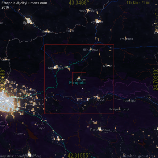
Analysis of Etropole night lights 2016
Square area 10x10 km:
 0.15%
0.15%90-99
0.45%80-89
0.61%70-79
0.61%60-69
0.61%50-59
0%40-49
0%30-39
0%20-29
0%10-19
0%0-9
97.58%Square area 50x50 km:
0.09%90-99
0.18%80-89
0.05%70-79
0.13%60-69
0.2%50-59
0.36%40-49
0.29%30-39
0.22%20-29
0.39%10-19
0.31%0-9
97.79%Clear (daylight) street map image can be seen on geolist.org.
Map coordinates:
43° 20' 48.5" North, 23° 17' 48.8" East
42° 49' 60" North, 24° 0' 0" East
42° 18' 56" North, 24° 42' 11.3" East
Some cities around Etropole sort by population:
• Botevgrad
19.2 km =11.9 mi,  292°
292°
• Panagyurishte
40.7 km =25.3 mi,  157°
157°
• Mezdra
42.8 km =26.6 mi,  325°
325°
• Teteven
23.6 km =14.7 mi,  66°
66°
• Lukovit
43 km =26.7 mi,  18°
18°
• Pirdop
21.1 km =13.1 mi,  134°
134°
• Elin Pelin
37.6 km =23.4 mi,  240°
240°
• Zlatitsa
16.9 km =10.5 mi,  140°
140°
731626 (p: 11,031)
Sources (retrieved 2019-11-25):
» Earth at Night: Flat Maps 2012, 2016