Turnhout night lights from space
Night Light of Turnhout (Flanders) from space (Belgium) Src. Average luminocity for 10x10km area is 39.5952% and for 50x50km: 18.8836%.
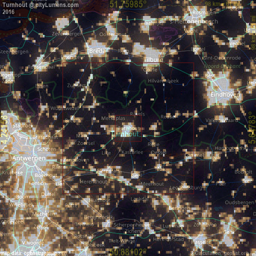
Analysis of Turnhout night lights 2016
Square area 10x10 km:
 8.4%
8.4%90-99
7.7%80-89
3.5%70-79
4.48%60-69
3.36%50-59
3.5%40-49
5.32%30-39
4.2%20-29
17.51%10-19
34.59%0-9
7.42%Square area 50x50 km:
1.65%90-99
2.01%80-89
1.54%70-79
1.93%60-69
2.29%50-59
2.85%40-49
3.16%30-39
2.97%20-29
6.85%10-19
27.86%0-9
46.9%Clear (daylight) street map image can be seen on geolist.org.
Map coordinates:
51° 45' 35.5" North, 4° 14' 29.7" East
51° 19' 21.1" North, 4° 56' 41" East
50° 52' 51.7" North, 5° 38' 52.2" East
Some cities around Turnhout sort by population:
• Kasterlee
9.2 km =5.7 mi,  170°
170°
• Beerse
6.4 km =4 mi,  266°
266°
• Ravels
6.5 km =4 mi,  30°
30°
• Oud-Turnhout
2.8 km =1.7 mi,  96°
96°
• Arendonk
9.6 km =6 mi,  89°
89°
• Vosselaar
4.1 km =2.5 mi,  247°
247°
• Retie
11.4 km =7.1 mi,  123°
123°
• Merksplas
6.8 km =4.2 mi,  305°
305°
2785141 (p: 39,654)
Sources (retrieved 2019-11-25):
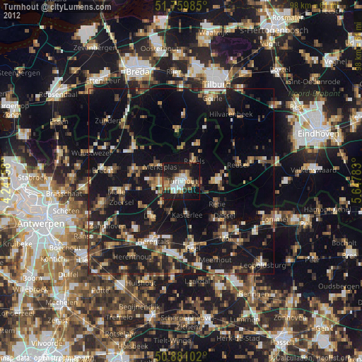
» Earth at Night: Flat Maps 2012, 2016