Sint-Pieters-Leeuw night lights from space
Night Light of Sint-Pieters-Leeuw (Flanders) from space (Belgium) Src. Average luminocity for 10x10km area is 63.5742% and for 50x50km: 46.6939%.
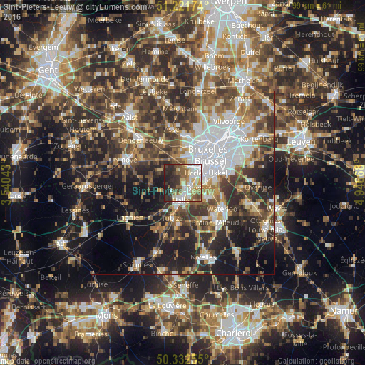
Analysis of Sint-Pieters-Leeuw night lights 2016
Square area 10x10 km:
 13.87%
90-99
16.39%80-89
8.4%70-79
6.02%60-69
8.4%50-59
12.04%40-49
5.88%30-39
8.82%20-29
16.67%10-19
3.5%0-9
0%Square area 50x50 km:
9.92%90-99
7.58%80-89
4.21%70-79
5.25%60-69
6.86%50-59
8.28%40-49
9.33%30-39
9.79%20-29
11.87%10-19
15.46%0-9
11.46%Clear (daylight) street map image can be seen on geolist.org.
Map coordinates:
51° 13' 18.3" North, 3° 32' 25.5" East
50° 46' 45.3" North, 4° 14' 36.8" East
50° 19' 57.2" North, 4° 56' 48" East
Some cities around Sint-Pieters-Leeuw sort by population:
• Brussels
10.8 km =6.7 mi,  43°
43°
• Dilbeek
7.7 km =4.8 mi,  8°
8°
• Halle
5.1 km =3.2 mi,  187°
187°
• Beersel
4.3 km =2.7 mi,  110°
110°
• Tubize
10.3 km =6.4 mi,  196°
196°
• Ternat
11.1 km =6.9 mi,  330°
330°
• Braine-le-Château
11.3 km =7 mi,  169°
169°
• Gooik
9.3 km =5.8 mi,  280°
280°
2786559 (p: 30,446)
Sources (retrieved 2019-11-25):
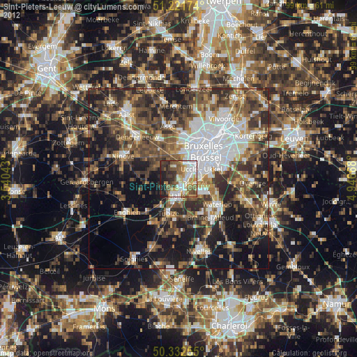
» Earth at Night: Flat Maps 2012, 2016