Remicourt night lights from space
Night Light of Remicourt (Wallonia) from space (Belgium) Src. Average luminocity for 10x10km area is 16.492% and for 50x50km: 26.9699%.
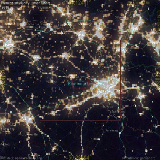
Analysis of Remicourt night lights 2016
Square area 10x10 km:
 0.94%
0.94%90-99
2.01%80-89
0.4%70-79
1.74%60-69
0.94%50-59
2.14%40-49
3.07%30-39
4.41%20-29
3.74%10-19
23.53%0-9
57.09%Square area 50x50 km:
3.84%90-99
4.74%80-89
2.1%70-79
2.39%60-69
3.26%50-59
3.89%40-49
4.67%30-39
4.84%20-29
8.58%10-19
24.17%0-9
37.51%Clear (daylight) street map image can be seen on geolist.org.
Map coordinates:
51° 7' 26.8" North, 4° 37' 29" East
50° 40' 50.5" North, 5° 19' 40.3" East
50° 13' 58.9" North, 6° 1' 51.5" East
Some cities around Remicourt sort by population:
• Ans
13.7 km =8.5 mi,  98°
98°
• Flémalle-Haute
12.2 km =7.6 mi,  137°
137°
• Waremme
5.4 km =3.4 mi,  290°
290°
• Borgloon
13.9 km =8.6 mi,  4°
4°
• Awans
9.7 km =6 mi, 98°
• Heers
8.3 km =5.2 mi,  347°
347°
• Villers-le-Bouillet
12.5 km =7.8 mi,  202°
202°
• Engis
12.1 km =7.5 mi,  155°
155°
2788211 (p: 5,050)
Sources (retrieved 2019-11-25):
» Earth at Night: Flat Maps 2012, 2016