Lessines night lights from space
Night Light of Lessines (Wallonia) from space (Belgium) Src. Average luminocity for 10x10km area is 19.4318% and for 50x50km: 24.4978%.
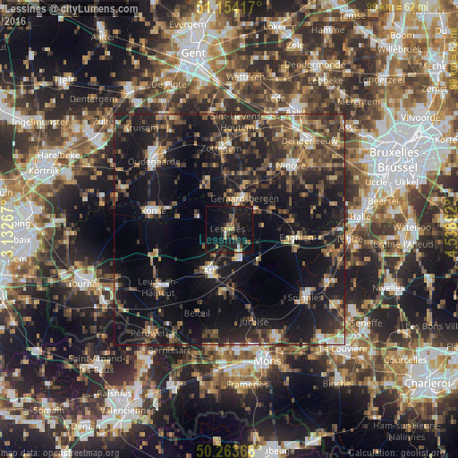
Analysis of Lessines night lights 2016
Square area 10x10 km:
 0.94%
0.94%90-99
0.67%80-89
1.34%70-79
2.27%60-69
2.67%50-59
2.01%40-49
3.34%30-39
3.61%20-29
6.68%10-19
46.26%0-9
30.21%Square area 50x50 km:
1.5%90-99
2.48%80-89
2.11%70-79
2.88%60-69
3.08%50-59
4.93%40-49
5.57%30-39
5.63%20-29
10.29%10-19
26.53%0-9
35.01%Clear (daylight) street map image can be seen on geolist.org.
Map coordinates:
51° 9' 15" North, 3° 7' 57.6" East
50° 42' 39.7" North, 3° 50' 8.8" East
50° 15' 49.2" North, 4° 32' 20.1" East
Some cities around Lessines sort by population:
• Geraardsbergen
7.7 km =4.8 mi,  25°
25°
• Ath
10 km =6.2 mi,  204°
204°
• Galmaarden
10.7 km =6.6 mi,  63°
63°
• Silly
9.3 km =5.8 mi,  138°
138°
• Herne
14.1 km =8.8 mi,  84°
84°
• Sint-Maria-Lierde
12 km =7.5 mi,  2°
2°
• Chièvres
13.8 km =8.6 mi,  188°
188°
• Ellezelles
11.3 km =7 mi,  283°
283°
2792567 (p: 17,687)
Sources (retrieved 2019-11-25):
» Earth at Night: Flat Maps 2012, 2016