Maldegem night lights from space
Night Light of Maldegem (Flanders) from space (Belgium) Src. Average luminocity for 10x10km area is 27.9692% and for 50x50km: 27.7614%.
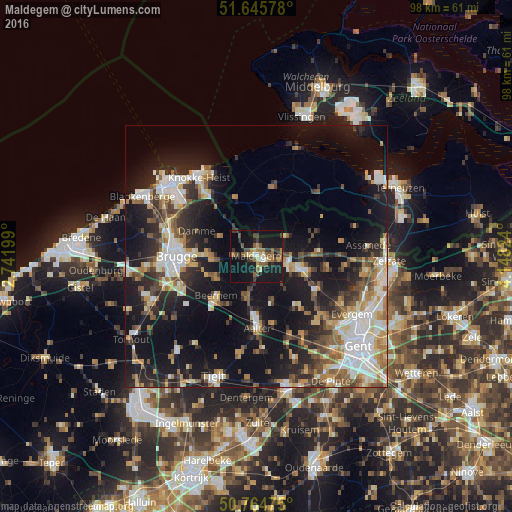
Analysis of Maldegem night lights 2016
Square area 10x10 km:
 0.42%
0.42%90-99
3.22%80-89
2.8%70-79
3.36%60-69
5.04%50-59
5.88%40-49
6.72%30-39
5.32%20-29
2.94%10-19
43.84%0-9
20.45%Square area 50x50 km:
4.69%90-99
4.92%80-89
2.61%70-79
3.34%60-69
3.63%50-59
3.61%40-49
3.76%30-39
3.88%20-29
8.03%10-19
22.29%0-9
39.25%Clear (daylight) street map image can be seen on geolist.org.
Map coordinates:
51° 38' 44.8" North, 2° 44' 31.2" East
51° 12' 26.5" North, 3° 26' 42.4" East
50° 45' 53.1" North, 4° 8' 53.7" East
Some cities around Maldegem sort by population:
• Eeklo
8.1 km =5 mi,  106°
106°
• Beernem
10.5 km =6.5 mi,  224°
224°
• Damme
12.4 km =7.7 mi,  293°
293°
• Zomergem
12.8 km =8 mi,  139°
139°
• Knesselare
7.9 km =4.9 mi,  196°
196°
• Waarschoot
12.7 km =7.9 mi,  118°
118°
• Sint-Laureins
6.7 km =4.2 mi,  55°
55°
• Kaprijke
11.9 km =7.4 mi,  84°
84°
2791857 (p: 22,092)
Sources (retrieved 2019-11-25):
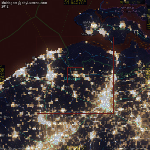
» Earth at Night: Flat Maps 2012, 2016