Houthalen night lights from space
Night Light of Houthalen (Flanders) from space (Belgium) Src. Average luminocity for 10x10km area is 32.1511% and for 50x50km: 28.2838%.
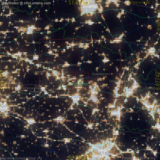
Analysis of Houthalen night lights 2016
Square area 10x10 km:
 1.47%
1.47%90-99
2.81%80-89
3.48%70-79
4.81%60-69
5.21%50-59
7.62%40-49
5.35%30-39
5.35%20-29
20.32%10-19
29.68%0-9
13.9%Square area 50x50 km:
3.33%90-99
4.03%80-89
2.44%70-79
2.99%60-69
3.91%50-59
4.26%40-49
5.23%30-39
5.42%20-29
10.26%10-19
26.47%0-9
31.66%Clear (daylight) street map image can be seen on geolist.org.
Map coordinates:
51° 28' 27.6" North, 4° 40' 16.2" East
51° 2' 3.4" North, 5° 22' 27.4" East
50° 35' 24" North, 6° 4' 38.7" East
Some cities around Houthalen sort by population:
• Hasselt
11.8 km =7.3 mi,  192°
192°
• Genk
11.7 km =7.3 mi,  131°
131°
• Beringen
10.5 km =6.5 mi,  279°
279°
• Heusden
6.6 km =4.1 mi,  272°
272°
• Helchteren
2.5 km =1.6 mi,  13°
13°
• Zonhoven
4.9 km =3 mi, 185°
• Peer
12.2 km =7.6 mi,  29°
29°
• Leopoldsburg
12.6 km =7.8 mi,  316°
316°
2795261 (p: 30,050)
Sources (retrieved 2019-11-25):
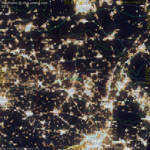
» Earth at Night: Flat Maps 2012, 2016