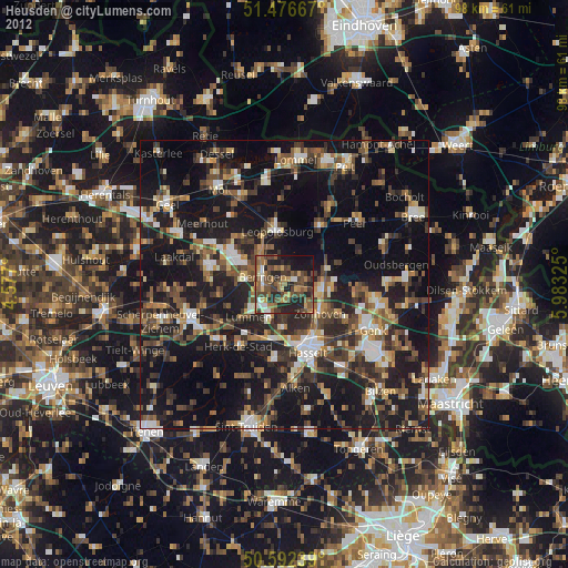
Heusden night lights from space
Night Light of Heusden (Flanders) from space (Belgium) Src. Average luminocity for 10x10km area is 44.3783% and for 50x50km: 25.9393%.
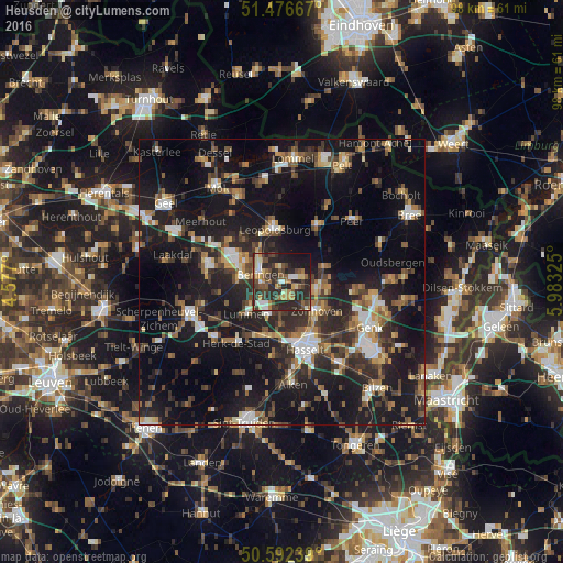
Analysis of Heusden night lights 2016
Square area 10x10 km:
 4.68%
4.68%90-99
5.61%80-89
4.28%70-79
6.02%60-69
6.82%50-59
7.89%40-49
10.43%30-39
9.09%20-29
31.28%10-19
13.37%0-9
0.53%Square area 50x50 km:
2.76%90-99
3.33%80-89
1.87%70-79
2.7%60-69
3.52%50-59
4.17%40-49
4.85%30-39
4.8%20-29
10.26%10-19
27.48%0-9
34.28%Clear (daylight) street map image can be seen on geolist.org.
Map coordinates:
51° 28' 36" North, 4° 34' 37.2" East
51° 2' 11.9" North, 5° 16' 48.5" East
50° 35' 32.6" North, 5° 58' 59.7" East
Some cities around Heusden sort by population:
• Hasselt
12.4 km =7.7 mi,  161°
161°
• Beringen
4 km =2.5 mi,  290°
290°
• Helchteren
7.5 km =4.7 mi,  73°
73°
• Houthalen
6.6 km =4.1 mi,  92°
92°
• Zonhoven
8 km =5 mi,  129°
129°
• Leopoldsburg
9.1 km =5.7 mi,  346°
346°
• Lummen
8.3 km =5.2 mi,  228°
228°
• Herk-de-Stad
13.4 km =8.3 mi,  216°
216°
2795800 (p: 31,017)
Sources (retrieved 2019-11-25):
» Earth at Night: Flat Maps 2012, 2016