Aarschot night lights from space
Night Light of Aarschot (Flanders) from space (Belgium) Src. Average luminocity for 10x10km area is 30.9519% and for 50x50km: 35.0918%.
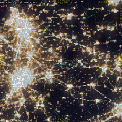
Analysis of Aarschot night lights 2016
Square area 10x10 km:
 3.07%
3.07%90-99
3.34%80-89
1.2%70-79
3.61%60-69
4.28%50-59
6.02%40-49
5.61%30-39
10.7%20-29
13.5%10-19
31.82%0-9
16.84%Square area 50x50 km:
4.18%90-99
5.09%80-89
2.93%70-79
4.33%60-69
5.29%50-59
6.71%40-49
7.21%30-39
7.6%20-29
11.67%10-19
25.66%0-9
19.33%Clear (daylight) street map image can be seen on geolist.org.
Map coordinates:
51° 25' 39.6" North, 4° 8' 1.8" East
50° 59' 13.7" North, 4° 50' 13" East
50° 32' 32.7" North, 5° 32' 24.3" East
Some cities around Aarschot sort by population:
• Rotselaar
9.2 km =5.7 mi,  245°
245°
• Tremelo
9 km =5.6 mi,  273°
273°
• Lubbeek
11.6 km =7.2 mi,  179°
179°
• Herselt
7.8 km =4.8 mi,  23°
23°
• Hulshout
10.2 km =6.3 mi,  341°
341°
• Begijnendijk
5.2 km =3.2 mi,  313°
313°
• Holsbeek
9.2 km =5.7 mi,  217°
217°
• Bekkevoort
10.6 km =6.6 mi,  119°
119°
2803429 (p: 27,656)
Sources (retrieved 2019-11-25):
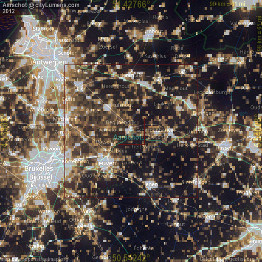
» Earth at Night: Flat Maps 2012, 2016