Aalst night lights from space
Night Light of Aalst (Flanders) from space (Belgium) Src. Average luminocity for 10x10km area is 66.486% and for 50x50km: 50.606%.
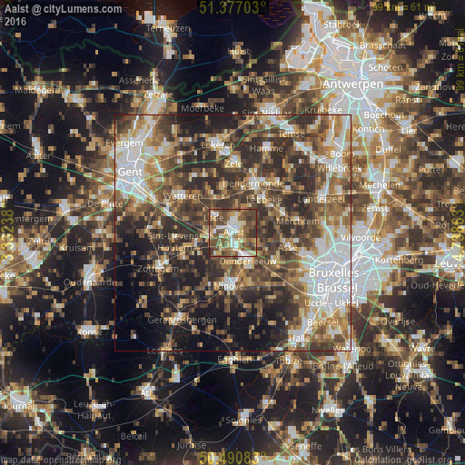

Analysis of Aalst night lights 2016
Square area 10x10 km:
 11.2%
11.2%90-99
13.45%80-89
9.8%70-79
8.26%60-69
7%50-59
20.59%40-49
19.75%30-39
8.96%20-29
0.98%10-19
0%0-9
0%Square area 50x50 km:
9.3%90-99
8.88%80-89
5.03%70-79
5.71%60-69
7.77%50-59
9.81%40-49
11.08%30-39
10.88%20-29
13.77%10-19
10.78%0-9
6.99%Clear (daylight) street map image can be seen on geolist.org.
Map coordinates:
51° 22' 37.3" North, 3° 19' 56.6" East
50° 56' 9.7" North, 4° 2' 7.8" East
50° 29' 27" North, 4° 44' 19.1" East
Some cities around Aalst sort by population:
• Lebbeke
10.3 km =6.4 mi,  42°
42°
• Haaltert
4.1 km =2.5 mi,  216°
216°
• Denderleeuw
6.3 km =3.9 mi,  153°
153°
• Lede
4.8 km =3 mi,  314°
314°
• Berlare
11.1 km =6.9 mi,  347°
347°
• Opwijk
11 km =6.8 mi,  71°
71°
• Liedekerke
8.3 km =5.2 mi, 153°
• Wichelen
8.7 km =5.4 mi,  331°
331°
2803448 (p: 77,534)
Sources (retrieved 2019-11-25):
» NASA, Earths city lights 1995
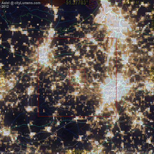
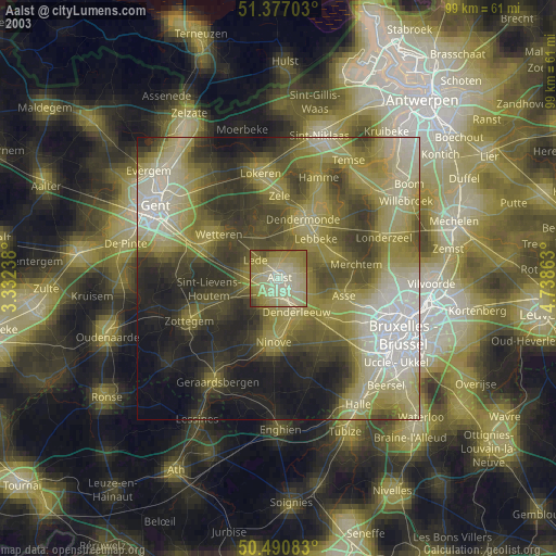
» NASA city lights 2003
» Earth at Night: Flat Maps 2012, 2016