Otoka night lights from space
Night Light of Otoka (Federation of B&H) from space (Bosnia and Herzegovina) Src. Average luminocity for 10x10km area is 0.481% and for 50x50km: 0.9277%.
Analysis of Otoka night lights 2016
Square area 10x10 km:
 0%
0%90-99
0%80-89
0%70-79
0%60-69
0%50-59
0%40-49
0.63%30-39
0%20-29
0.63%10-19
0%0-9
98.73%Square area 50x50 km:
0.1%90-99
0.22%80-89
0.07%70-79
0.05%60-69
0.09%50-59
0.14%40-49
0.18%30-39
0.14%20-29
0.24%10-19
0.25%0-9
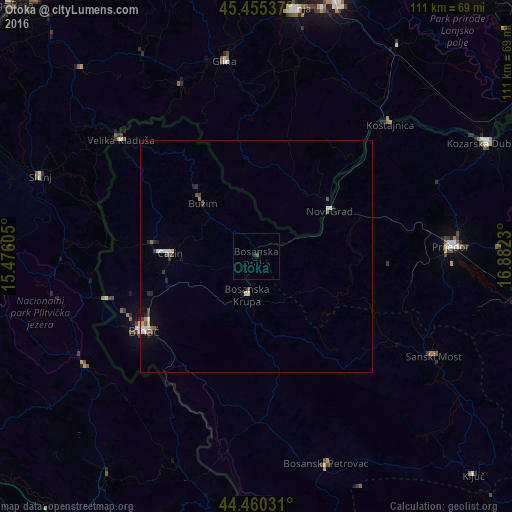
98.52%Clear (daylight) street map image can be seen on geolist.org.
Map coordinates:
45° 27' 19.3" North, 15° 28' 33.8" East
44° 57' 36" North, 16° 10' 45" East
44° 27' 37.1" North, 16° 52' 56.3" East
Some cities around Otoka sort by population:
• Cazin
18.6 km =11.6 mi,  272°
272°
• Bosanska Krupa
8.9 km =5.5 mi,  194°
194°
• Stijena
12.6 km =7.8 mi,  257°
257°
• Todorovo
24.2 km =15 mi,  306°
306°
• Novi Grad
18.3 km =11.4 mi,  58°
58°
• Bužim
15.5 km =9.6 mi, 312°
• Varoška Rijeka
19.1 km =11.9 mi,  318°
318°
• Ostrožac
19.6 km =12.2 mi,  253°
253°
3193776 (p: 6,595)
Sources (retrieved 2019-11-25):
» Earth at Night: Flat Maps 2012, 2016