Janja night lights from space
Night Light of Janja (Srpska) from space (Bosnia and Herzegovina) Src. Average luminocity for 10x10km area is 1.6985% and for 50x50km: 3.2928%.
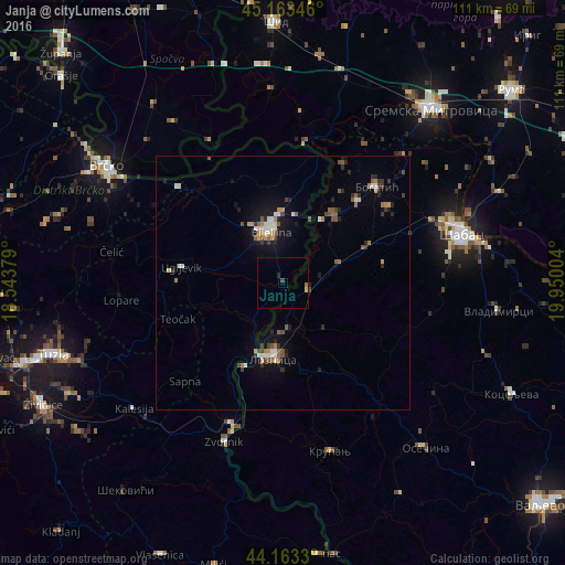
Analysis of Janja night lights 2016
Square area 10x10 km:
 0%
0%90-99
0%80-89
0.45%70-79
0.15%60-69
0.45%50-59
0.15%40-49
0%30-39
0.61%20-29
0.61%10-19
0%0-9
97.58%Square area 50x50 km:
0.35%90-99
0.43%80-89
0.21%70-79
0.37%60-69
0.39%50-59
0.68%40-49
0.38%30-39
0.55%20-29
0.74%10-19
2.1%0-9
93.81%Clear (daylight) street map image can be seen on geolist.org.
Map coordinates:
45° 9' 48.5" North, 18° 32' 37.6" East
44° 39' 55.9" North, 19° 14' 48.9" East
44° 9' 47.9" North, 19° 57' 0.1" East
Some cities around Janja sort by population:
• Šabac, RS
36.2 km =22.5 mi,  75°
75°
• Bijeljina
10.7 km =6.6 mi,  346°
346°
• Zvornik
33.1 km =20.6 mi,  200°
200°
• Bogatić, RS
26.6 km =16.5 mi,  43°
43°
• Tojšići
40.9 km =25.4 mi,  243°
243°
• Badovinci, RS
16.6 km =10.3 mi, 36°
• Velika Obarska
16.9 km =10.5 mi,  336°
336°
• Gunja, HR
39.2 km =24.4 mi,  307°
307°
3198895 (p: 5,544)
Sources (retrieved 2019-11-25):
» Earth at Night: Flat Maps 2012, 2016