Travnik night lights from space
Night Light of Travnik (Federation of B&H) from space (Bosnia and Herzegovina) Src. Average luminocity for 10x10km area is 13.5833% and for 50x50km: 2.7338%.
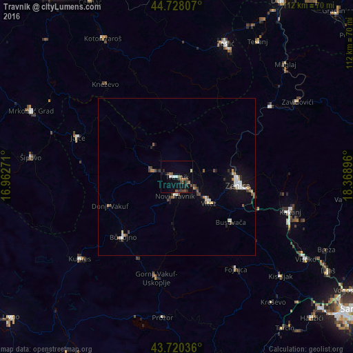
Analysis of Travnik night lights 2016
Square area 10x10 km:
 0.91%
0.91%90-99
1.97%80-89
0.15%70-79
0.3%60-69
2.42%50-59
2.73%40-49
4.7%30-39
2.27%20-29
3.33%10-19
5.15%0-9
76.06%Square area 50x50 km:
0.29%90-99
0.49%80-89
0.19%70-79
0.12%60-69
0.29%50-59
0.48%40-49
0.64%30-39
0.3%20-29
0.52%10-19
1.53%0-9
95.17%Clear (daylight) street map image can be seen on geolist.org.
Map coordinates:
44° 43' 41.1" North, 16° 57' 45.8" East
44° 13' 34.9" North, 17° 39' 57" East
43° 43' 13.3" North, 18° 22' 8.3" East
Some cities around Travnik sort by population:
• Zenica
19.2 km =11.9 mi,  98°
98°
• Bugojno
25.5 km =15.8 mi,  222°
222°
• Novi Travnik
6.2 km =3.9 mi,  185°
185°
• Vitez
12.7 km =7.9 mi,  128°
128°
• Donji Vakuf
23.1 km =14.4 mi,  246°
246°
• Divičani
31.2 km =19.4 mi,  300°
300°
• Željezno Polje
29.1 km =18.1 mi,  48°
48°
• Kačuni
28.3 km =17.6 mi, 129°
3188924 (p: 31,127)
Sources (retrieved 2019-11-25):
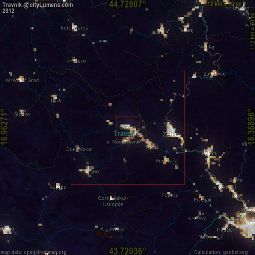
» Earth at Night: Flat Maps 2012, 2016