Goris night lights from space
Night Light of Goris (Syunik) from space (Armenia) Src. Average luminocity for 10x10km area is 2.2159% and for 50x50km: 0.1452%.
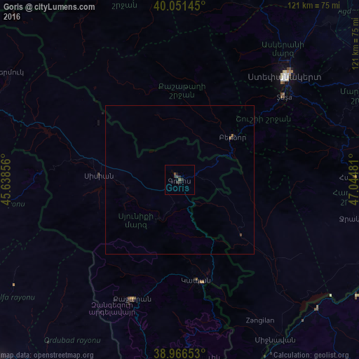
Analysis of Goris night lights 2016
Square area 10x10 km:
 0%
0%90-99
0%80-89
0%70-79
0%60-69
0%50-59
0.49%40-49
1.46%30-39
1.95%20-29
1.62%10-19
0.32%0-9
94.16%Square area 50x50 km:
0%90-99
0%80-89
0%70-79
0%60-69
0.05%50-59
0.02%40-49
0.09%30-39
0.08%20-29
0.07%10-19
0.05%0-9
99.65%Clear (daylight) street map image can be seen on geolist.org.
Map coordinates:
40° 3' 5.2" North, 45° 38' 18.8" East
39° 30' 40" North, 46° 20' 30" East
38° 57' 59.5" North, 47° 2' 41.3" East
Some cities around Goris sort by population:
• Xankandi, AZ
49 km =30.4 mi,  45°
45°
• Kapan
34.2 km =21.3 mi,  170°
170°
• Shushi, AZ
44.6 km =27.7 mi, 51°
• Hats’avan
32.3 km =20.1 mi,  260°
260°
• Zangilan, AZ
54.8 km =34.1 mi,  150°
150°
• Qubadlı, AZ
27.7 km =17.2 mi,  131°
131°
• Xocalı, AZ
58.9 km =36.6 mi,  40°
40°
• Laçın, AZ
20.4 km =12.7 mi,  61°
61°
174895 (p: 20,379)
Sources (retrieved 2019-11-25):
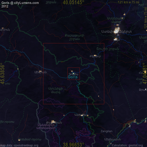
» Earth at Night: Flat Maps 2012, 2016