Mariehamn night lights from space
Night Light of Mariehamn (Mariehamns stad) from space (Aland Islands) Src. Average luminocity for 10x10km area is 26.9246% and for 50x50km: 2.9601%.
Analysis of Mariehamn night lights 2016
Square area 10x10 km:
 4.65%
4.65%90-99
4.03%80-89
1.03%70-79
0.83%60-69
2.27%50-59
2.48%40-49
16.22%30-39
0.1%20-29
3%10-19
28.41%0-9
36.98%Square area 50x50 km:
0.19%90-99
0.17%80-89
0.04%70-79
0.03%60-69
0.13%50-59
0.14%40-49
2.73%30-39
1.35%20-29
0.12%10-19
1.42%0-9
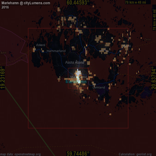
93.67%Clear (daylight) street map image can be seen on geolist.org.
Map coordinates:
60° 26' 45.3" North, 19° 13' 54.1" East
60° 5' 50.1" North, 19° 56' 5.3" East
59° 44' 41.5" North, 20° 38' 16.6" East
Some cities around Mariehamn sort by population:
• Åkersberga, SE
114.4 km =71.1 mi,  233°
233°
• Vallentuna, SE
121.2 km =75.3 mi,  238°
238°
• Gustavsberg, SE
121.8 km =75.7 mi, 225°
• Norrtälje, SE
78.2 km =48.6 mi, 241°
• Uusikaupunki, FI
112.4 km =69.8 mi,  45°
45°
• Naantali, FI
122.3 km =76 mi,  70°
70°
• Storvreta, SE
124.8 km =77.5 mi,  262°
262°
• Nykvarn, SE
96.8 km =60.1 mi,  250°
250°
3041732 (p: 10,682)
Sources (retrieved 2019-11-25):
» Earth at Night: Flat Maps 2012, 2016