Sunnybank Hills night lights from space
Night Light of Sunnybank Hills (Queensland) from space (Australia) Src. Average luminocity for 10x10km area is 82.6389% and for 50x50km: 41.9571%.
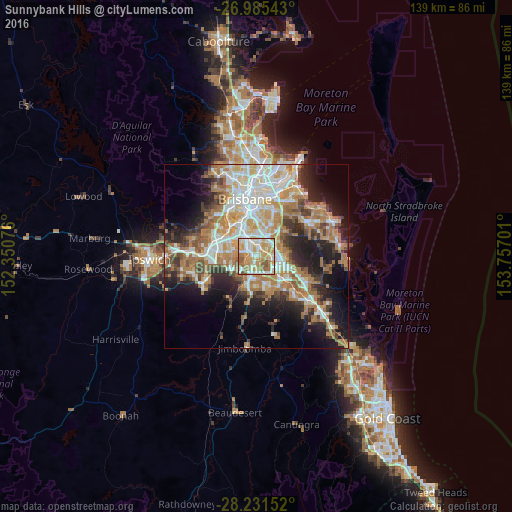
Analysis of Sunnybank Hills night lights 2016
Square area 10x10 km:
 16.47%
90-99
24.8%80-89
16.67%70-79
21.03%60-69
11.31%50-59
9.52%40-49
0.2%30-39
0%20-29
0%10-19
0%0-9
0%Square area 50x50 km:
7.89%90-99
8.64%80-89
4.95%70-79
5.6%60-69
11.67%50-59
3.73%40-49
4.24%30-39
4.73%20-29
7.43%10-19
12.33%0-9
28.8%Clear (daylight) street map image can be seen on geolist.org.
Map coordinates:
26° 59' 7.5" South, 152° 21' 2.7" East
27° 36' 36.9" South, 153° 3' 14" East
28° 13' 53.5" South, 153° 45' 25.2" East
Some cities around Sunnybank Hills sort by population:
• Calamvale
1.6 km =1 mi,  202°
202°
• Runcorn
2.7 km =1.7 mi,  58°
58°
• Woodridge
5.2 km =3.2 mi,  119°
119°
• Parkinson
4.4 km =2.7 mi,  212°
212°
• Algester
2.1 km =1.3 mi,  262°
262°
• Kuraby
3.9 km =2.4 mi,  84°
84°
• Acacia Ridge
3.6 km =2.2 mi,  325°
325°
• Macgregor
5.2 km =3.2 mi,  13°
13°
9957350 (p: 17,842)
Sources (retrieved 2019-11-25):
» Earth at Night: Flat Maps 2012, 2016