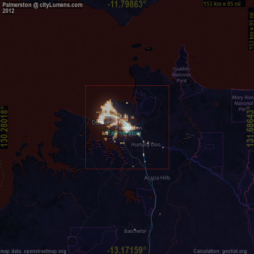
Palmerston night lights from space
Night Light of Palmerston (Northern Territory) from space (Australia) Src. Average luminocity for 10x10km area is 56.3616% and for 50x50km: 9.9946%.
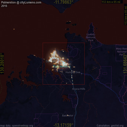
Analysis of Palmerston night lights 2016
Square area 10x10 km:
 8.88%
8.88%90-99
12.6%80-89
7.44%70-79
0.83%60-69
16.94%50-59
11.98%40-49
4.55%30-39
9.09%20-29
19.42%10-19
8.26%0-9
0%Square area 50x50 km:
1.31%90-99
1.5%80-89
1%70-79
0.54%60-69
2.29%50-59
2.62%40-49
0.9%30-39
1.47%20-29
3.19%10-19
6.08%0-9
79.1%Clear (daylight) street map image can be seen on geolist.org.
Map coordinates:
11° 47' 55.1" South, 130° 16' 48.6" East
12° 29' 9.7" South, 130° 58' 59.9" East
13° 10' 17.7" South, 131° 41' 11.1" East
Some cities around Palmerston sort by population:
• Darwin
15.6 km =9.7 mi,  280°
280°
• Lospalos, TL
619.7 km =385.1 mi,  315°
315°
• Baukau, TL
666.1 km =413.9 mi,  312°
312°
• Venilale, TL
660.2 km =410.2 mi, 310°
• Same, TL
699.5 km =434.6 mi,  303°
303°
• Howard Springs
6.7 km =4.2 mi,  99°
99°
• Kununurra
438.6 km =272.5 mi,  213°
213°
• Viqueque, TL
646 km =401.4 mi, 308°
6301965 (p: 25,000)
Sources (retrieved 2019-11-25):
» Earth at Night: Flat Maps 2012, 2016